Regent, Edinburgh
Map
Map

Facts and practical information
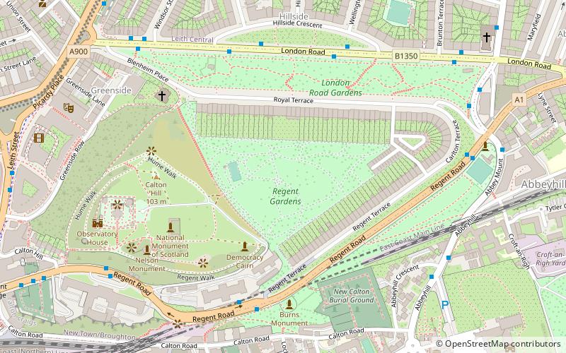
The Regent, Royal and Carlton Terrace Gardens are private communal gardens in the New Town area of Edinburgh, EH7. They lie over a 4.8-hectare site on the east side of Calton Hill. The gardens have been listed on the Inventory of Gardens and Designed Landscapes as part of the New Town gardens heritage designation since March 2001. The gardens form some of the collection of New Town Gardens. ()
Elevation: 266 ft a.s.l.Coordinates: 55°57'20"N, 3°10'43"W
Day trips
Regent – popular in the area (distance from the attraction)
Nearby attractions include: Palace of Holyroodhouse, Calton Hill, Collective, Queen's Gallery.
Frequently Asked Questions (FAQ)
Which popular attractions are close to Regent?
Nearby attractions include Royal Terrace, Edinburgh (3 min walk), Regent Terrace, Edinburgh (3 min walk), London Road Gardens, Edinburgh (4 min walk), National Monument of Scotland, Edinburgh (4 min walk).
How to get to Regent by public transport?
The nearest stations to Regent:
Bus
Train
Tram
Bus
- Regent Terrace • Lines: 124, X5 (5 min walk)
- Brunswick Street • Lines: 1, 26, 4, 44 (5 min walk)
Train
- Edinburgh Waverley (14 min walk)
Tram
- St Andrew Square • Lines: Edinburgh Trams Eastbound, Edinburgh Trams Westbound (14 min walk)
- Princes Street • Lines: Edinburgh Trams Eastbound, Edinburgh Trams Westbound (21 min walk)


