Lower Moors, St Mary's
Map

Map

Facts and practical information
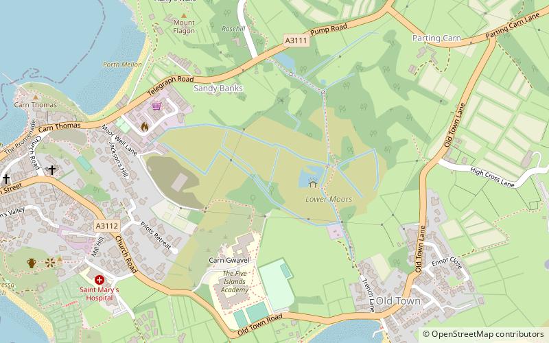
The Lower Moors is a wetland between Hugh Town and Old Town Bay on St Mary's, the largest island in the Isles of Scilly. The Isles of Scilly are an archipelago off the southwestern tip of the Cornish peninsula of Great Britain. ()
Coordinates: 49°54'55"N, 6°18'14"W
Address
St Mary's
ContactAdd
Social media
Add
Day trips
Lower Moors – popular in the area (distance from the attraction)
Nearby attractions include: Porth Hellick, St Mary's Old Church, Halangy Down, St Mary's Methodist Church.
Frequently Asked Questions (FAQ)
Which popular attractions are close to Lower Moors?
Nearby attractions include Harry's Walls, Isles of Scilly (7 min walk), St Mary's Church, St Mary's (8 min walk), St Mary's Old Church, St Mary's (9 min walk), Buzza Tower, St Mary's (9 min walk).


