Blow's Down, Dunstable
Map

Map

Facts and practical information
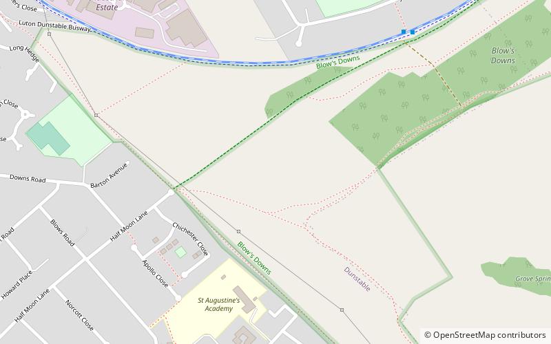
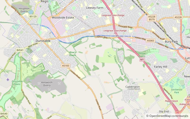
Blow's Down is a 33.1 hectare biological Site of Special Scientific Interest in Dunstable in Bedfordshire. It was notified in 1989 under Section 28 of the Wildlife and Countryside Act 1981, and the local planning authority is Central Bedfordshire Council. The site forms around half of the 62.3 hectare Blow's Downs nature reserve, which is managed by the Wildlife Trust for Bedfordshire, Cambridgeshire and Northamptonshire. ()
Coordinates: 51°52'59"N, 0°30'7"W
Address
Dunstable
ContactAdd
Social media
Add
Day trips
Blow's Down – popular in the area (distance from the attraction)
Nearby attractions include: Dunstable Priory, Dunstable Leisure Centre, Cottage Bottom Fields, Dunstable Sea Cadets.
Frequently Asked Questions (FAQ)
Which popular attractions are close to Blow's Down?
Nearby attractions include Dunstable Priory, Dunstable (18 min walk), Cottage Bottom Fields, Dunstable (20 min walk), Zouches Farm transmitting station, Dunstable (23 min walk).


