Mill Street, Oxford
Map
Gallery
Facts and practical information
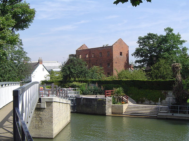
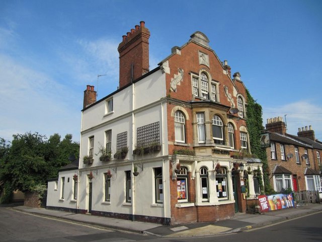
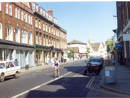
Mill Street is a street in Oxford, England. It is a cul-de-sac that runs south from the Botley Road close to Oxford railway station. It includes residential houses, mainly terraced, and some office space. Mill Street was built in the 1860s as part of the development of New Osney on what was then known as Osney Island. ()
Coordinates: 51°44'58"N, 1°16'13"W
Day trips
Mill Street – popular in the area (distance from the attraction)
Nearby attractions include: Hythe Bridge Street, Westgate, Oxford Castle, Osney Mill Marina.
Frequently Asked Questions (FAQ)
Which popular attractions are close to Mill Street?
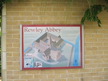
Nearby attractions include Osney Abbey, Oxford (1 min walk), Osney Cemetery, Oxford (1 min walk), Osney Mill Marina, Oxford (2 min walk), St Thomas the Martyr's Church, Oxford (5 min walk).
How to get to Mill Street by public transport?
The nearest stations to Mill Street:
Bus
Train
Bus
- Osney Island • Lines: 4, 4A, 4B, 4C, S1, U1 (7 min walk)
- Park End Street • Lines: 280, 4, 4A, 4B, 4C, X3 (8 min walk)
Train
- Oxford (7 min walk)


