Osney Bridge, Oxford
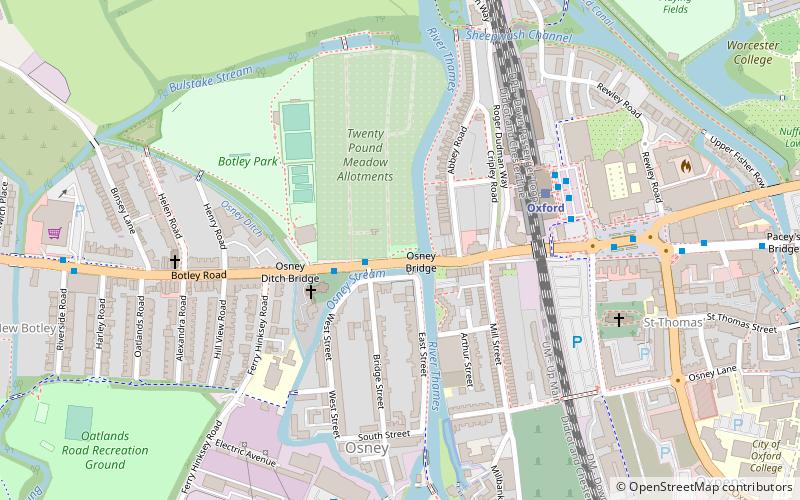
Map
Gallery
Facts and practical information
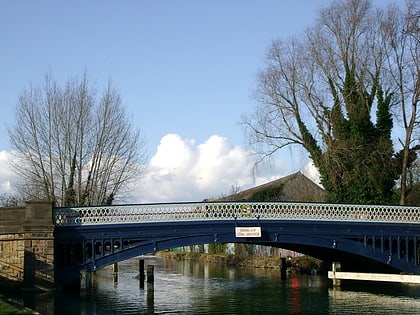
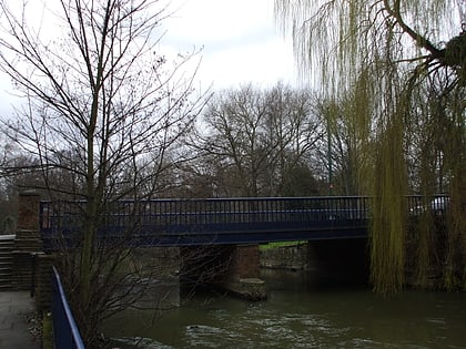
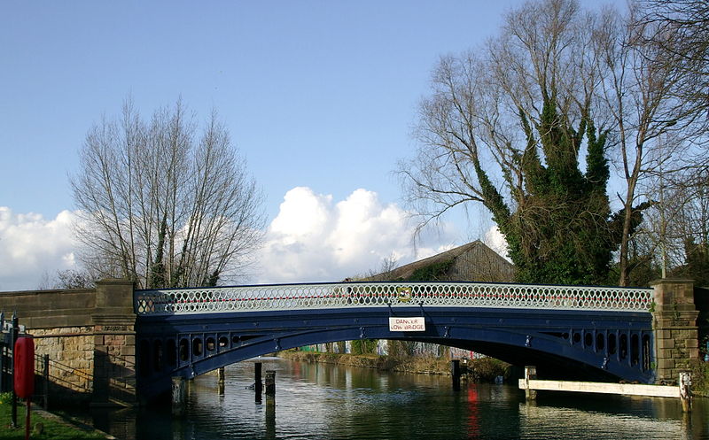
Osney Bridge is a road bridge across the River Thames in Oxford, England, built in 1888 to replace a stone bridge which collapsed in 1885. It carries the Botley Road from Botley into Oxford. The Thames Path crosses the river on this bridge, just above Osney Lock. ()
Opened: 1889 (137 years ago)Height: 7 ftCoordinates: 51°45'10"N, 1°16'23"W
Day trips
Osney Bridge – popular in the area (distance from the attraction)
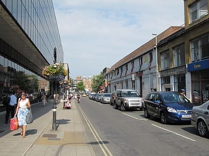
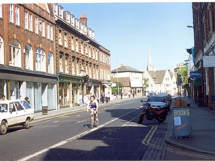
Nearby attractions include: Hythe Bridge Street, Oxford Castle, Osney Mill Marina, St Barnabas Church.
Frequently Asked Questions (FAQ)
Which popular attractions are close to Osney Bridge?
Nearby attractions include Osney, Oxford (2 min walk), St Frideswide's Church, Oxford (3 min walk), Osney Mill Marina, Oxford (5 min walk), Ferry Hinksey Road, Oxford (6 min walk).
How to get to Osney Bridge by public transport?
The nearest stations to Osney Bridge:
Bus
Train
Bus
- Osney Island • Lines: 4, 4A, 4B, 4C, S1, U1 (2 min walk)
- Binsey Lane • Lines: 4, 4A, 4B, 4C, S1, U1 (8 min walk)
Train
- Oxford (4 min walk)
