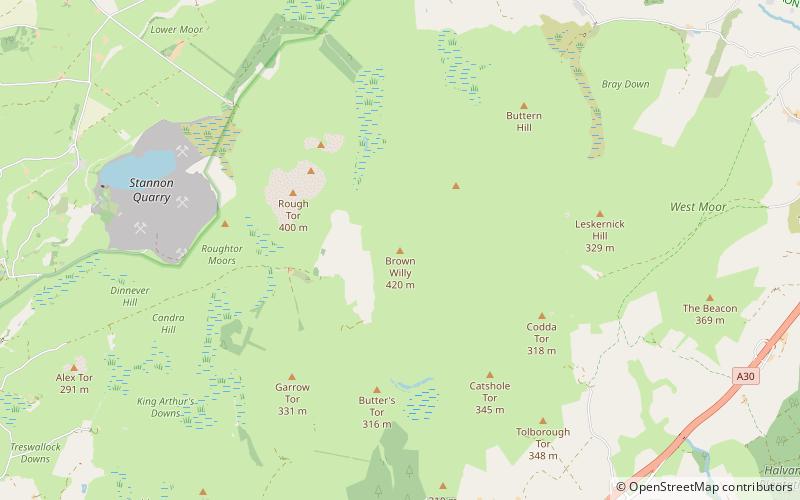
Brown Willy, Redlake Meadows & Hoggs Moor

Gallery (2)
Map
Map
Gallery
Facts and practical information
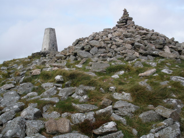
Brown Willy is a hill in Cornwall, England, United Kingdom. The summit, at 1,378 feet above sea level, is the highest point of Bodmin Moor and of Cornwall as a whole. It is about 2+1⁄2 miles northwest of Bolventor and 4 miles southeast of Camelford. The hill has a variable appearance that depends on the vantage point from which it is seen. It bears the conical appearance of a sugarloaf from the north but widens into a long multi-peaked crest from closer range. ()
Address
Redlake Meadows & Hoggs Moor
ContactAdd
Social media
Add
Day trips


