Cefn Cil Sanws, Brecon Beacons
Map
Gallery
Facts and practical information
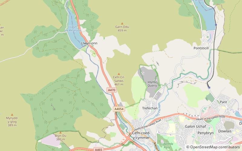
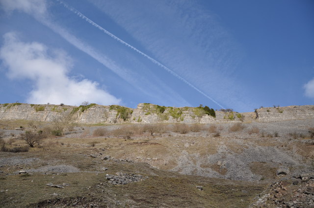
Cefn Cil Sanws is a hill in the Brecon Beacons National Park within the county borough of Merthyr Tydfil in south Wales. The summit at 460m above sea level is crowned by a trig point. The steep cliffs of Darren Fawr and Darren Fach defend its western side which drops down into Cwm Taf. A major limestone quarry is worked on the southeastern side of the hill. An unexpected feature at this altitude is Merthyr Tydfil Golf Course which extends high onto the eastern and southern slopes of the hill. ()
Coordinates: 51°46'56"N, 3°24'53"W
Address
Brecon Beacons
ContactAdd
Social media
Add
Day trips
Cefn Cil Sanws – popular in the area (distance from the attraction)
Nearby attractions include: Cyfarthfa Castle, Old Iron Bridge, Joseph Parry's Cottage, Merthyr Tydfil Town Hall.
Frequently Asked Questions (FAQ)
How to get to Cefn Cil Sanws by public transport?
The nearest stations to Cefn Cil Sanws:
Bus
Bus
- Police Station • Lines: Me27-1, Me27-3, Me27-4 (40 min walk)


