Grasmoor

Gallery (1)
Map
Map
Facts and practical information
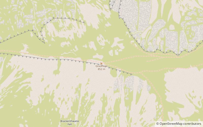
Grasmoor is a mountain in the north-western part of the Lake District, northern England. It is the highest peak in a group of hills between the villages of Lorton, Braithwaite and Buttermere, and overlooks Crummock Water. ()
Location
England
ContactAdd
Social media
Add
Day trips


