Ashton Avenue Bridge, Bristol
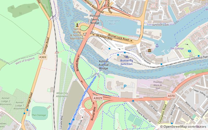
Map
Gallery
Facts and practical information
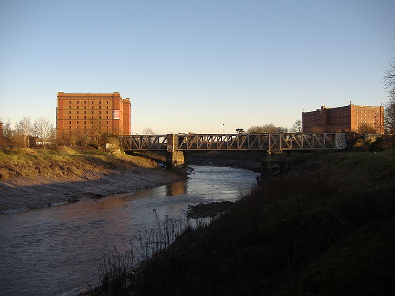
The Ashton Avenue Bridge is a pedestrian, cycling and busway bridge in Bristol, England. Grade II listed, it was constructed as a road-rail bridge as part of the Bristol Harbour Railway. It now carries a Bristol MetroBus guided busway route and National Cycle Network cycle routes. ()
Opened: 3 October 1906 (119 years ago)Length: 582 ftCoordinates: 51°26'46"N, 2°37'19"W
Address
CabotBristol
ContactAdd
Social media
Add
Day trips
Ashton Avenue Bridge – popular in the area (distance from the attraction)
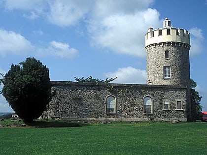
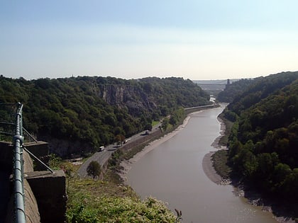
Nearby attractions include: Clifton Suspension Bridge, SS Great Britain, Ashton Gate Stadium, Clifton Observatory.
Frequently Asked Questions (FAQ)
Which popular attractions are close to Ashton Avenue Bridge?
Nearby attractions include B Bond Warehouse, Bristol (3 min walk), Tower Belle, Bristol (5 min walk), Hydraulic engine house, Bristol (5 min walk), Underfall Yard, Bristol (6 min walk).
How to get to Ashton Avenue Bridge by public transport?
The nearest stations to Ashton Avenue Bridge:
Bus
Train
Ferry
Bus
- Cumberland Basin • Lines: m2 (2 min walk)
- Ashton Gate • Lines: m2 (6 min walk)
Train
- Butterfly Junction (3 min walk)
- SS Great Britain (19 min walk)
Ferry
- Nova Scotia Place • Lines: Hotwells-Centre (6 min walk)
- Pumphouse • Lines: Hotwells-Centre (7 min walk)


