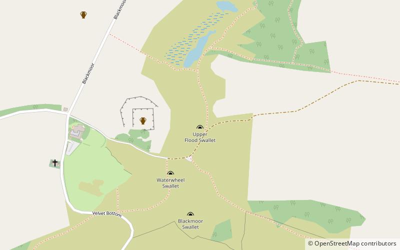
Upper Flood Swallet, Mendips

Gallery (1)
Map
Map
Facts and practical information
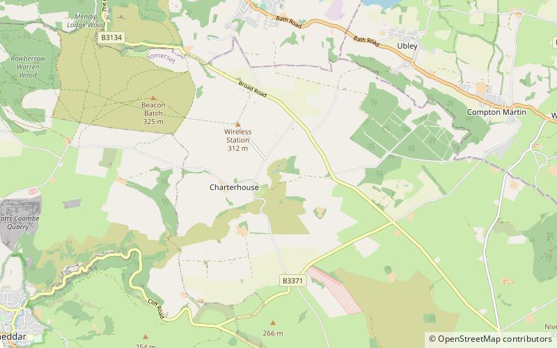
Upper Flood Swallet which was originally known as Blackmoor Flood Swallet, is an exceptionally well-decorated cave near Charterhouse, in the carboniferous limestone of the Mendip Hills, in Somerset, England. The cave is part of the Cheddar Complex SSSI. ()
Discovered: 3 October 1968Coordinates: 51°17'56"N, 2°42'37"W
Address
Mendips
ContactAdd
Social media
Add
Day trips
Upper Flood Swallet – popular in the area (distance from the attraction)
Nearby attractions include: Church of St Hugh, Longwood Swallet, Manor Farm Swallet, Charterhouse Camp.


Frequently Asked Questions (FAQ)
Which popular attractions are close to Upper Flood Swallet?
Nearby attractions include Charterhouse Camp, Mendips (3 min walk), Church of St Hugh, Mendips (8 min walk), Charterhouse, Mendips (8 min walk), Manor Farm Swallet, Mendips (12 min walk).