Manor Farm Swallet, Mendips
Map
Map

Facts and practical information
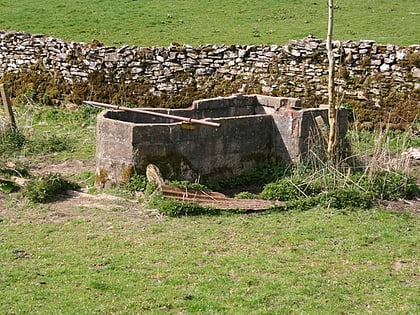
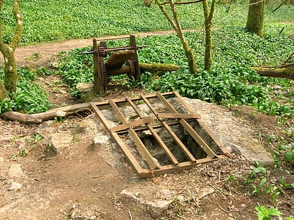
Manor Farm Swallet is a cave in the limestone of the Mendip Hills, in Somerset, England which was subject to numerous failed digging attempts between 1947 and 1973 as the surface shafts kept collapsing. In 1973 access to the cave was gained by an artificial shaft and walling it against collapse. ()
Discovered: 1972Length: 3632 ftDepth: 587 ftCoordinates: 51°17'52"N, 2°43'16"W
Address
Mendips
ContactAdd
Social media
Add
Day trips
Manor Farm Swallet – popular in the area (distance from the attraction)
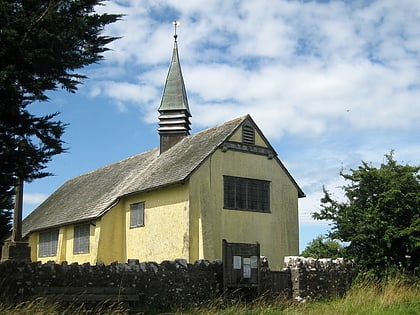
Nearby attractions include: Upper Flood Swallet, Black Down, Rhino Rift, Church of St Hugh.
Frequently Asked Questions (FAQ)
Which popular attractions are close to Manor Farm Swallet?
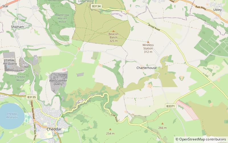
Nearby attractions include Church of St Hugh, Mendips (5 min walk), Charterhouse, Mendips (11 min walk), Upper Flood Swallet, Mendips (12 min walk), Charterhouse Camp, Mendips (14 min walk).
