Charterhouse Camp, Mendips

Map
Facts and practical information
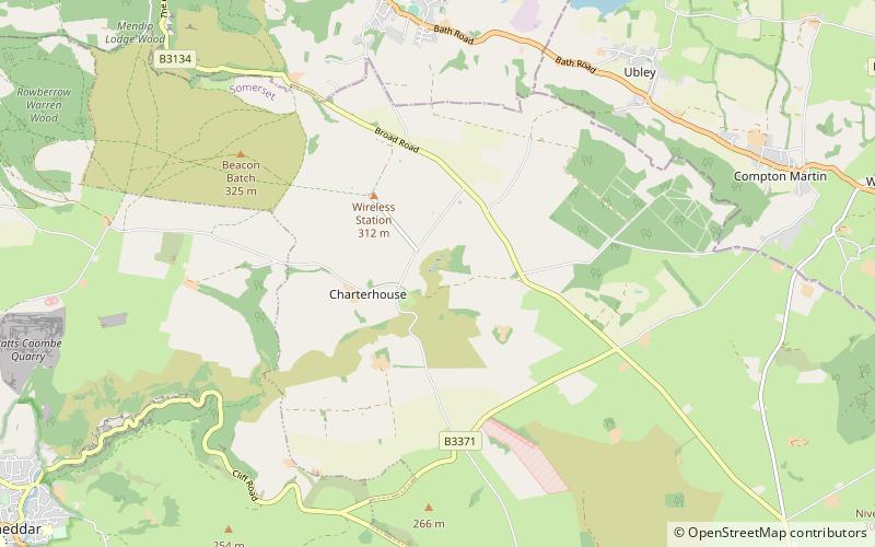
Charterhouse Camp is a univallate Iron Age hillfort in the Mendip district of Somerset, England. The hillfort is situated approximately 0.6 miles east from the village of Charterhouse. There is some evidence, in the form of burials in local caves, of human occupation since the late Neolithic times and the early Bronze Age. The site is associated with Charterhouse Roman Town and may have been the site of Iscalis. The site is a scheduled monument. ()
Coordinates: 51°18'1"N, 2°42'36"W
Address
Mendips
ContactAdd
Social media
Add
Day trips
Charterhouse Camp – popular in the area (distance from the attraction)
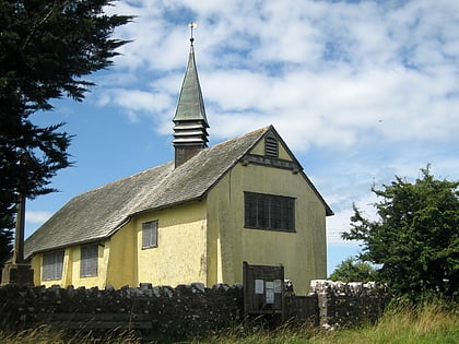
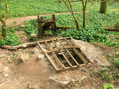
Nearby attractions include: Upper Flood Swallet, Church of St Hugh, Longwood Swallet, Manor Farm Swallet.
Frequently Asked Questions (FAQ)
Which popular attractions are close to Charterhouse Camp?
Nearby attractions include Upper Flood Swallet, Mendips (3 min walk), Charterhouse, Mendips (7 min walk), Church of St Hugh, Mendips (9 min walk), Manor Farm Swallet, Mendips (14 min walk).


