Pennine Cycleway, Holmfirth
Map
Gallery
Facts and practical information
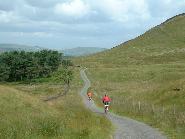
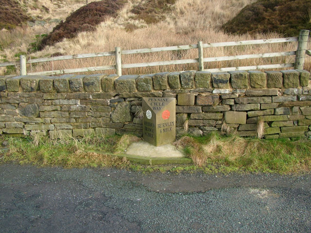
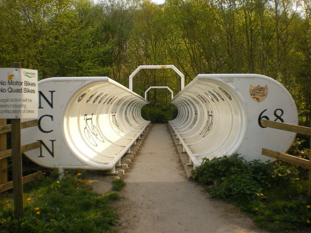
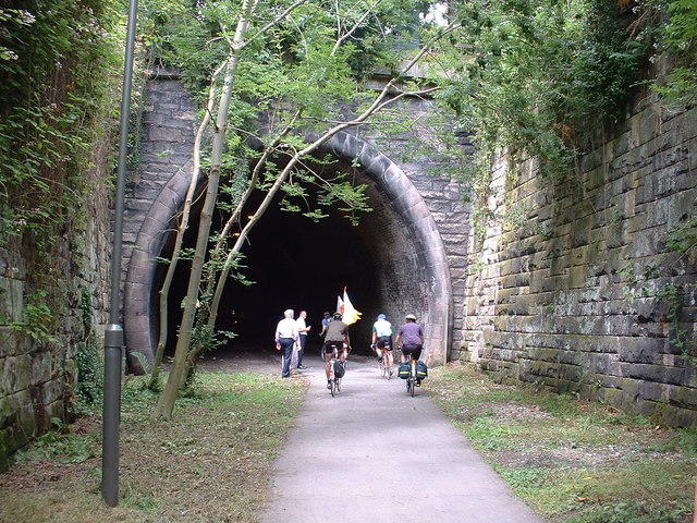
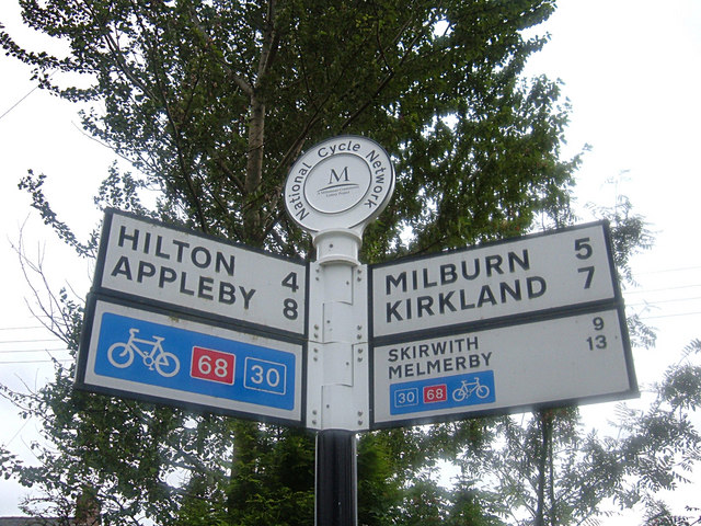
The Pennine Cycleway is a Sustrans-sponsored route in the Pennines range in northern England, an area often called the "backbone of England". The route passes through the counties of Derbyshire, West Yorkshire, Lancashire, North Yorkshire, Cumbria and Northumberland. It is part of the National Cycle Network. Sustrans founder John Grimshaw calls it 'the best National Cycle Network route of the lot'. ()
Length: 327 miElevation: 486 ft a.s.l.Coordinates: 53°34'12"N, 1°47'13"W
Address
Holme Valley South (Holmfirth)Holmfirth
ContactAdd
Social media
Add
Day trips
Pennine Cycleway – popular in the area (distance from the attraction)
Nearby attractions include: Wessenden Head Reservoir, Church of St Thomas, Castle Hill, Black Hill.


