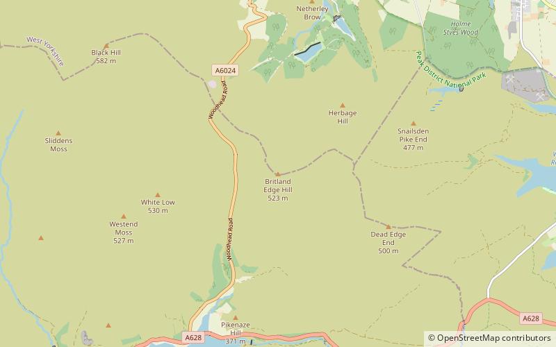
Britland Edge Hill, Crowden-in-Longdendale
#7 among attractions in Crowden-in-Longdendale


Facts and practical information
Britland Edge Hill is a hill, 523 metres high, in the Peak District in England. It is located on the border of Derbyshire and West Yorkshire. ()
Holme Valley SouthCrowden-in-Longdendale United Kingdom
Britland Edge Hill – popular in the area (distance from the attraction)
Nearby attractions include: Wessenden Head Reservoir, Bleaklow, Black Hill, Black Chew Head.
 Lake
LakeWessenden Head Reservoir, Marsden
98 min walk • Wessenden Head Reservoir is the highest in a series of four reservoirs in the Wessenden Valley above the village of Marsden in West Yorkshire, at the northern end of the Peak District National Park.
 Nature, Natural attraction, Mountain
Bleaklow, Crowden-in-Longdendale
106 min walk • Bleaklow is a high, largely peat-covered, gritstone moorland in the Derbyshire High Peak near the town of Glossop. It is north of Kinder Scout, across the Snake Pass, and south of the A628 Woodhead Pass.
 Nature, Natural attraction, Mountain
Black Hill, Peak District
56 min walk • Black Hill, in the Peak District, is the highest hill in West Yorkshire, England. Its summit has a maximum elevation of 582 m above sea level. It is surpassed in height by only two other major summits in the Peak District. Black Hill is a typical Pennine moorland mountain, with a very flat and extensive plateau.
 Nature, Natural attraction, Mountain
Black Chew Head, Crowden-in-Longdendale
81 min walk • Black Chew Head in Saddleworth in the Metropolitan Borough of Oldham is the highest point or county top of Greater Manchester in northern England.
 Hiking, Hiking trail
Longdendale Trail, Crowden-in-Longdendale
106 min walk • The Longdendale Trail is an English long-distance rail trail following the former Woodhead railway line, which ran between Manchester and Sheffield and closed east of Hadfield in 1981.
 Nature, Natural attraction, Valley
Chew Valley, Crowden-in-Longdendale
116 min walk • Chew Valley in Saddleworth, Greater Manchester, England, follows the course of Chew Brook on the western slopes of Black Chew Head to where it joins the River Tame at Greenfield, east of Manchester.
 Nature, Natural attraction, Mountain
Featherbed Moss, Crowden-in-Longdendale
96 min walk • Featherbed Moss is a flat-topped hill, 541 metres high, in the Peak District in the county of Derbyshire in England. It is sometimes mistakenly thought to be a joint county top.
 Park
ParkPennine Cycleway, Holmfirth
105 min walk • The Pennine Cycleway is a Sustrans-sponsored route in the Pennines range in northern England, an area often called the "backbone of England".
 Memorial
Holme Valley War Memorial, Holmfirth
120 min walk • Holme Valley War Memorial is a war memorial in the grounds of the Holme Valley Memorial Hospital Holmfirth, West Yorkshire, in England. It was unveiled in July 1921, by Colonel H. R. Headlam, who had previously commanded the 5th Battalion, Duke of Wellington’s West Riding Regiment.
 Town
TownMeltham
129 min walk • Meltham is a town and civil parish within the Metropolitan Borough of Kirklees, in West Yorkshire, England. It lies in the Holme Valley, below Wessenden Moor, four and a half miles south-west of Huddersfield on the edge of the Peak District National Park.
 Nature, Natural attraction, Lake
Torside Reservoir, Crowden-in-Longdendale
94 min walk • Torside Reservoir is the largest man-made lake in Longdendale in north Derbyshire. It was constructed by John Frederick Bateman between April 1849 and July 1864 as part of the Longdendale chain to supply water from the River Etherow to the urban areas of Greater Manchester.
