Adamsdown, Cardiff
Map

Map

Facts and practical information
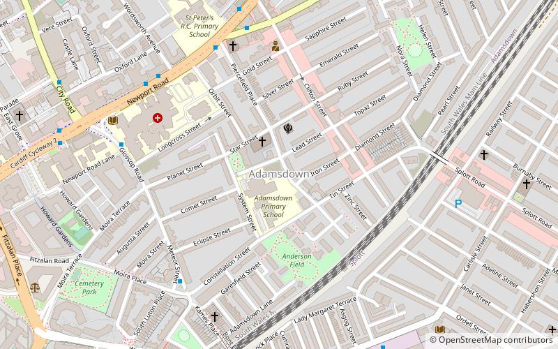
Adamsdown is an inner city area and community in the south of Cardiff, the capital city of Wales. Adamsdown is generally located between Newport Road, to the north and the mainline railway to the south. The area includes Cardiff Prison, Cardiff Magistrates' Court, Cardiff Royal Infirmary, a University of South Wales campus, and many streets of residential housing. ()
Coordinates: 51°29'2"N, 3°9'32"W
Address
Caerdydd Wouth (Waunadda)Cardiff
ContactAdd
Social media
Add
Day trips
Adamsdown – popular in the area (distance from the attraction)
Nearby attractions include: Queen Street, St David's, Capitol Centre, Cardiff International Arena.
Frequently Asked Questions (FAQ)
Which popular attractions are close to Adamsdown?
Nearby attractions include St German's Church, Cardiff (2 min walk), Roath Library, Cardiff (6 min walk), Cardiff Reform Synagogue, Cardiff (7 min walk), St James the Great, Cardiff (7 min walk).
How to get to Adamsdown by public transport?
The nearest stations to Adamsdown:
Bus
Train
Bus
- Newport Road, City Road • Lines: 8, X59 (8 min walk)
- Infirmary • Lines: 8 (8 min walk)
Train
- Cardiff Queen Street (14 min walk)
- Cathays (24 min walk)


