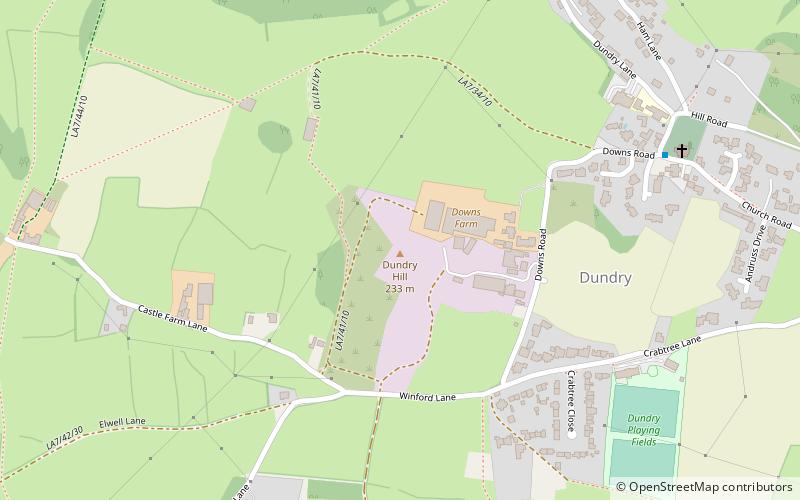
Dundry Hill, Bristol
Map

Map

Facts and practical information
Dundry Hill is immediately south of Bristol, England: it includes farmland, a small number of houses and a church. It stretches east–west for some two miles. Most of the hill is within the district of North Somerset. At the hill's eastern end the southern slopes are within Bath and North East Somerset, and the northern slopes are within the city and county of Bristol, including the highest point in that county. ()
Elevation: 732 ftProminence: 558 ftCoordinates: 51°23'52"N, 2°38'36"W
Day trips
Dundry Hill – popular in the area (distance from the attraction)
Nearby attractions include: Dundry, Church of St Mary and St Peter, Barrow Gurney Reservoirs, St Peter's Church.
Frequently Asked Questions (FAQ)
Which popular attractions are close to Dundry Hill?
Nearby attractions include Dundry, Bristol (6 min walk), Dundry, Bristol (6 min walk), Barns Batch Spinney, Bristol (15 min walk).
How to get to Dundry Hill by public transport?
The nearest stations to Dundry Hill:
Bus
Bus
- Dundry Lane • Lines: Falcon (23 min walk)
- Winford Arms • Lines: Falcon (23 min walk)


