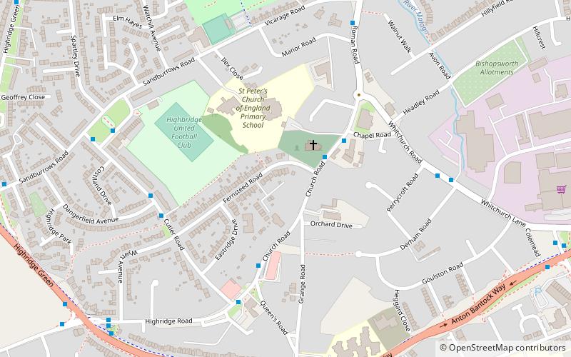
St Peter's Church, Bristol
Map

Map

Facts and practical information
St Peter's is a Neo Norman style church in Bishopsworth, Bristol, England. ()
Coordinates: 51°24'53"N, 2°37'11"W
Address
BishopsworthBristol
ContactAdd
Social media
Add
Day trips
St Peter's Church – popular in the area (distance from the attraction)
Nearby attractions include: Ashton Gate Stadium, Ashton Avenue Bridge, Dundry, Church of All Saints.
Frequently Asked Questions (FAQ)
How to get to St Peter's Church by public transport?
The nearest stations to St Peter's Church:
Bus
Bus
- Towns Talk • Lines: Falcon (23 min walk)
- Yanleigh Close • Lines: Falcon (25 min walk)


