Dundry, Bristol
Map

Map

Facts and practical information
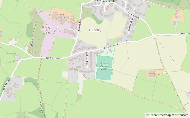
Dundry is a village and civil parish, situated on Dundry Hill in the northern part of the Mendip Hills, between Bristol and the Chew Valley Lake, in the English county of Somerset. The parish includes the hamlets of Maiden Head and East Dundry. The parish had a 2011 population of 829. ()
Address
Bristol
ContactAdd
Social media
Add
Day trips
Dundry – popular in the area (distance from the attraction)
Nearby attractions include: Dundry, Church of St Mary and St Peter, Barrow Gurney Reservoirs, Dundry Hill.
Frequently Asked Questions (FAQ)
Which popular attractions are close to Dundry?
Nearby attractions include Dundry Hill, Bristol (6 min walk), Dundry, Bristol (7 min walk), Barns Batch Spinney, Bristol (10 min walk).
How to get to Dundry by public transport?
The nearest stations to Dundry:
Bus
Bus
- Winford Arms • Lines: Falcon (28 min walk)
- Dundry Lane • Lines: Falcon (28 min walk)


