Maen Madoc, Brecon Beacons
#33 among attractions in Brecon Beacons
![Maen Madoc location map](https://tzmedia.b-cdn.net/media/images/static-maps/gb/51_83_-3_57124.jpg)
Facts and practical information
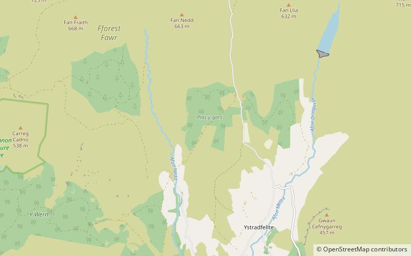
The Maen Madoc or Maen Madog stone is a menhir which lies adjacent to the Roman road Sarn Helen that runs across the Brecon Beacons in what was a key area of Roman Wales, about one mile north of Ystradfellte. It stands approximately 10 feet high. ()
Brecon Beacons United Kingdom
Brecon Beacons plan & book
Unleash the traveler in you — discover the cheapest flight deals, find the perfect hotel or hostel nearby, and search for the best car rental prices. Travel at your own pace to discover new places and enjoy your journey.
Maen Madoc – popular in the area (distance from the attraction)
Nearby attractions include: Porth yr Ogof, Maen Llia, Dinas Rock, Fan Gyhirych.
2.2 miSNature, Natural attraction, CavePorth yr Ogof, Brecon Beacons
56 min walk • Porth yr Ogof is a cave located near the village of Ystradfellte, near the southern boundary of the Brecon Beacons National Park in Wales.
2.2 miNMemorialMaen Llia, Brecon
55 min walk • Maen Llia is a standing stone which sits on moorland at grid reference SN924192 in the Brecon Beacons National Park in Powys, Wales. The stone which is a large piece of intraformational conglomerate from the Old Red Sandstone measures 3.7 m high by 2.8 m wide by 0.6 m. It is roughly diamond-shaped and is partly moss-covered.
4.8 miSClimbingDinas Rock, Brecon Beacons
123 min walk • Dinas Rock is a high promontory of Carboniferous Limestone which rises between the Afon Mellte and its left-bank tributary, the Afon Sychryd on the border between the county of Powys and the county borough of Neath Port Talbot in south Wales.
3.1 miNWNature, Natural attraction, MountainFan Gyhirych, Brecon Beacons
80 min walk • Fan Gyhirych is a mountain in the Fforest Fawr section of Brecon Beacons National Park in south Wales. It lies within the county of Breconshire, and administered as part of the unitary authority of Powys.
3.9 miNENature, Natural attraction, MountainFan Fawr, Brecon Beacons
100 min walk • Fan Fawr is a mountain in the Fforest Fawr section of the Brecon Beacons National Park, in Powys, Wales and over 734 m high. The summit overlooks the steep eastern face and is marked by a cairn.
3.1 miWNature, Natural attraction, CaveOgof Ffynnon Ddu, Pen y Cae
79 min walk • Ogof Ffynnon Ddu, also known informally as OFD, is a cave under a hillside in the area surrounding Penwyllt in the Upper Swansea Valley in South Wales. It is the second longest cave in Wales and the deepest in the United Kingdom.
2.1 miNENature, Natural attraction, MountainFan Llia, Brecon Beacons
55 min walk • Fan Llia is a subsidiary summit of Fan Fawr in the Fforest Fawr section of the Brecon Beacons National Park, Wales. In common with other peaks in the Fforest Fawr uplands it lies within the county of Powys.
5.2 miSParkFforest Fawr Geopark
133 min walk • Fforest Fawr Geopark is a Geopark in the Brecon Beacons National Park, south Wales. It is the first designated Geopark in Wales having gained membership of both the European Geoparks Network and the UNESCO-assisted Global Network of National Geoparks in October 2005.
1.7 miNNature, Natural attraction, MountainFan Nedd, Brecon Beacons
43 min walk • Fan Nedd is a mountain in the Fforest Fawr area of the Brecon Beacons National Park in Wales. In common with the rest of the Fforest Fawr uplands it is within the county of Powys.
2.4 miNWNature, Natural attraction, MountainFan Fraith, Brecon Beacons
63 min walk • Fan Fraith is a top of Fan Gyhirych in the Fforest Fawr section of the Brecon Beacons National Park in the county of Powys, south Wales. Its summit is at a height of 2192 feet or 668 m. It lies within Fforest Fawr Geopark.
3.7 miNNature, Natural attraction, MountainFan Bwlch Chwyth, Brecon Beacons
94 min walk • Fan Bwlch Chwyth is a peak in the Fforest Fawr section of the Brecon Beacons National Park and within the county of Powys. Its summit is marked by a trig point at OS grid ref SN 912217.