Fan Llia, Brecon Beacons
#39 among attractions in Brecon Beacons
Facts and practical information
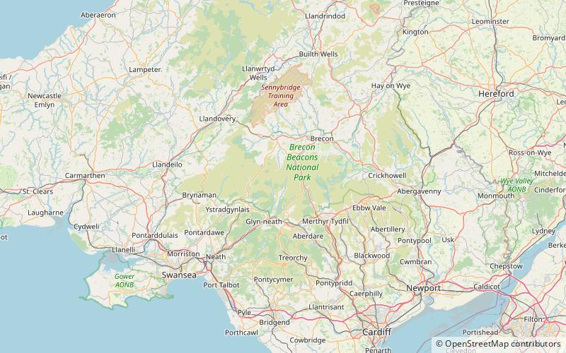
Fan Llia is a subsidiary summit of Fan Fawr in the Fforest Fawr section of the Brecon Beacons National Park, Wales. In common with other peaks in the Fforest Fawr uplands it lies within the county of Powys. ()
Brecon Beacons United Kingdom
Fan Llia – popular in the area (distance from the attraction)
Nearby attractions include: Porth yr Ogof, Maen Llia, Fan Gyhirych, Maen Madoc.
3.9 miSNature, Natural attraction, CavePorth yr Ogof, Brecon Beacons
99 min walk • Porth yr Ogof is a cave located near the village of Ystradfellte, near the southern boundary of the Brecon Beacons National Park in Wales.
0.9 miWMemorialMaen Llia, Brecon
24 min walk • Maen Llia is a standing stone which sits on moorland at grid reference SN924192 in the Brecon Beacons National Park in Powys, Wales. The stone which is a large piece of intraformational conglomerate from the Old Red Sandstone measures 3.7 m high by 2.8 m wide by 0.6 m. It is roughly diamond-shaped and is partly moss-covered.
3.6 miWNature, Natural attraction, MountainFan Gyhirych, Brecon Beacons
92 min walk • Fan Gyhirych is a mountain in the Fforest Fawr section of Brecon Beacons National Park in south Wales. It lies within the county of Breconshire, and administered as part of the unitary authority of Powys.
2.1 miSWMemorialMaen Madoc, Brecon Beacons
55 min walk • The Maen Madoc or Maen Madog stone is a menhir which lies adjacent to the Roman road Sarn Helen that runs across the Brecon Beacons in what was a key area of Roman Wales, about one mile north of Ystradfellte. It stands approximately 10 feet high.
2 miENature, Natural attraction, MountainFan Fawr, Brecon Beacons
52 min walk • Fan Fawr is a mountain in the Fforest Fawr section of the Brecon Beacons National Park, in Powys, Wales and over 734 m high. The summit overlooks the steep eastern face and is marked by a cairn.
1.5 miWNature, Natural attraction, MountainFan Nedd, Brecon Beacons
39 min walk • Fan Nedd is a mountain in the Fforest Fawr area of the Brecon Beacons National Park in Wales. In common with the rest of the Fforest Fawr uplands it is within the county of Powys.
3 miWNature, Natural attraction, MountainFan Fraith, Brecon Beacons
78 min walk • Fan Fraith is a top of Fan Gyhirych in the Fforest Fawr section of the Brecon Beacons National Park in the county of Powys, south Wales. Its summit is at a height of 2192 feet or 668 m. It lies within Fforest Fawr Geopark.
2.5 miNWNature, Natural attraction, MountainFan Bwlch Chwyth, Brecon Beacons
64 min walk • Fan Bwlch Chwyth is a peak in the Fforest Fawr section of the Brecon Beacons National Park and within the county of Powys. Its summit is marked by a trig point at OS grid ref SN 912217.
0.8 miSEDamYstradfellte Reservoir, Brecon Beacons
22 min walk • Ystradfellte Reservoir is a water storage reservoir on the Afon Dringarth in the upland area of Fforest Fawr within the Brecon Beacons National Park in South Wales.
2.4 miNENature, Natural attraction, MountainCraig Cerrig-gleisiad and Fan Frynych National Nature Reserve, Brecon Beacons
62 min walk • Craig Cerrig-gleisiad and Fan Frynych National Nature Reserve is a 156 acre area of the Brecon Beacons National Park in South Wales. It includes the peaks of Craig Cerrig-gleisiad and Fan Frynych.
1.7 miWNature, Natural attraction, Natural featureFforest Fawr, Brecon Beacons
45 min walk • Fforest Fawr is an extensive upland area in the county of Powys, Wales. Formerly known as the Great Forest of Brecknock in English, it was a royal hunting area for several centuries but is now used primarily for sheep grazing, forestry, water catchment and recreation.