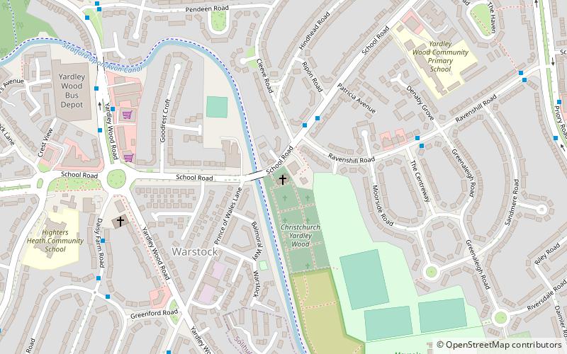
Christ Church, Birmingham
Map

Map

Facts and practical information
Christ Church, Yardley Wood is a Grade II listed parish church in the Church of England in Birmingham. ()
Completed: 1849 (177 years ago)Coordinates: 52°24'49"N, 1°51'53"W
Day trips
Christ Church – popular in the area (distance from the attraction)
Nearby attractions include: Sarehole Mill, Swanshurst Park, St Agnes' Church, Moseley Bog.
Frequently Asked Questions (FAQ)
How to get to Christ Church by public transport?
The nearest stations to Christ Church:
Train
Bus
Train
- Yardley Wood (18 min walk)
- Shirley (28 min walk)
Bus
- Alcester Rd South / Manningford Rd • Lines: 19 (27 min walk)


