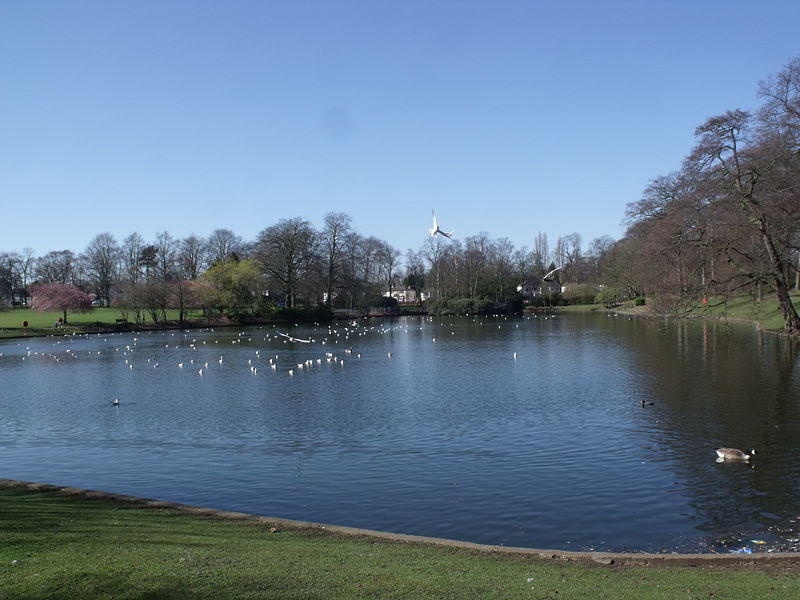
Swanshurst Park, Birmingham
Map

Gallery

Facts and practical information
Swanshurst Park is a public park in Birmingham, England, that is managed by Birmingham City Council. ()
Created: 1922Elevation: 459 ft a.s.l.Coordinates: 52°25'55"N, 1°51'57"W
Address
Yardley Wood RoadSpringfieldBirmingham B13 0TB
Contact
+44 121 464 0442
Social media
Add
Day trips
Swanshurst Park – popular in the area (distance from the attraction)
Nearby attractions include: Sarehole Mill, Moseley Park, St Mary's Church, St Agnes' Church.
Frequently Asked Questions (FAQ)
Which popular attractions are close to Swanshurst Park?
Nearby attractions include Moseley Bog, Birmingham (8 min walk), Shire Country Park, Birmingham (11 min walk), Sarehole Mill, Birmingham (13 min walk), St Agnes' Church, Birmingham (17 min walk).
How to get to Swanshurst Park by public transport?
The nearest stations to Swanshurst Park:
Train
Bus
Train
- Yardley Wood (23 min walk)
- Hall Green (24 min walk)
Bus
- Saint Marys Row / Moseley Village • Lines: 1, 1A (35 min walk)
- Salisbury Rd / Moseley Village • Lines: 1, 1A (37 min walk)


