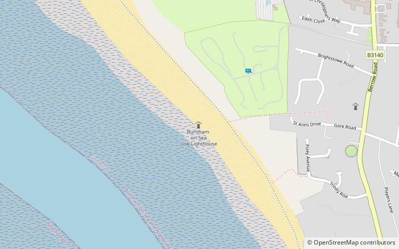
Burnham-on-Sea Low lighthouse, Burnham-on-Sea
Map

Map

Facts and practical information
The Low Lighthouse is one of three historic lighthouses in Burnham-on-Sea, Somerset, England, and the only one of the three which is still active. It is a Grade II listed building and stands on the foreshore. First lit in 1832, the Low Lighthouse operated in conjunction with the High Lighthouse for 137 years. Then, in 1969 the Low Lighthouse was deactivated; but later, in 1993, the Low Lighthouse was re-established and the High Lighthouse was instead decommissioned). ()
Coordinates: 51°14'54"N, 3°0'21"W
Address
Burnham-on-Sea
ContactAdd
Social media
Add
Day trips
Burnham-on-Sea Low lighthouse – popular in the area (distance from the attraction)
Nearby attractions include: Burnham & Berrow Golf Club, St Andrew's Church, Burnham-on-Sea High Lighthouse, Burnham-on-Sea Round Tower.
Frequently Asked Questions (FAQ)
Which popular attractions are close to Burnham-on-Sea Low lighthouse?
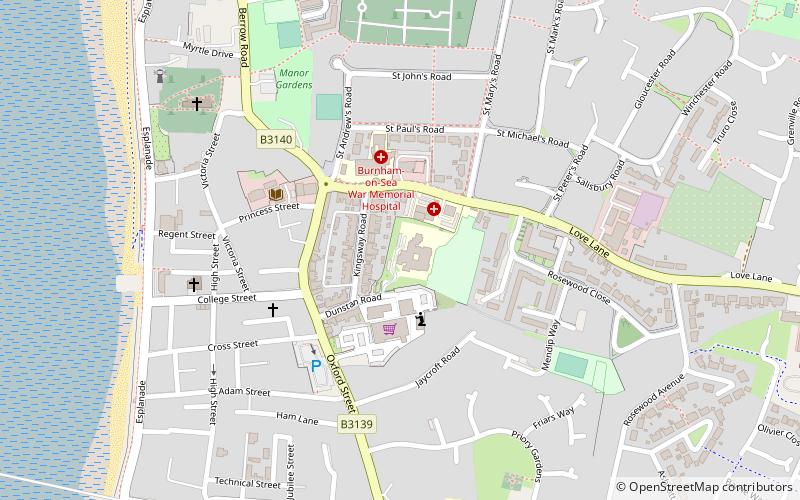
Nearby attractions include Burnham-on-Sea High Lighthouse, Burnham-on-Sea (8 min walk), Burnham-on-Sea Round Tower, Burnham-on-Sea (17 min walk), St Andrew's Church, Burnham-on-Sea (18 min walk), Burnham-on-Sea and Highbridge, Burnham-on-Sea (24 min walk).


