Burnham-on-Sea and Highbridge, Burnham-on-Sea
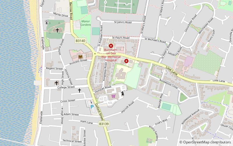
Map
Facts and practical information
Burnham-on-Sea and Highbridge is a civil parish in the Sedgemoor district of Somerset, England. It has a population of 19,576. The parish contains the towns Burnham-on-Sea and Highbridge, which share a town council. ()
Address
Burnham-on-Sea
ContactAdd
Social media
Add
Day trips
Burnham-on-Sea and Highbridge – popular in the area (distance from the attraction)
Nearby attractions include: St Andrew's Church, Burnham-on-Sea Low lighthouse, Burnham-on-Sea High Lighthouse, Burnham-on-Sea Round Tower.


Frequently Asked Questions (FAQ)
Which popular attractions are close to Burnham-on-Sea and Highbridge?
Nearby attractions include St Andrew's Church, Burnham-on-Sea (7 min walk), Burnham-on-Sea Round Tower, Burnham-on-Sea (8 min walk), Burnham-on-Sea High Lighthouse, Burnham-on-Sea (21 min walk), Burnham-on-Sea Low lighthouse, Burnham-on-Sea (24 min walk).