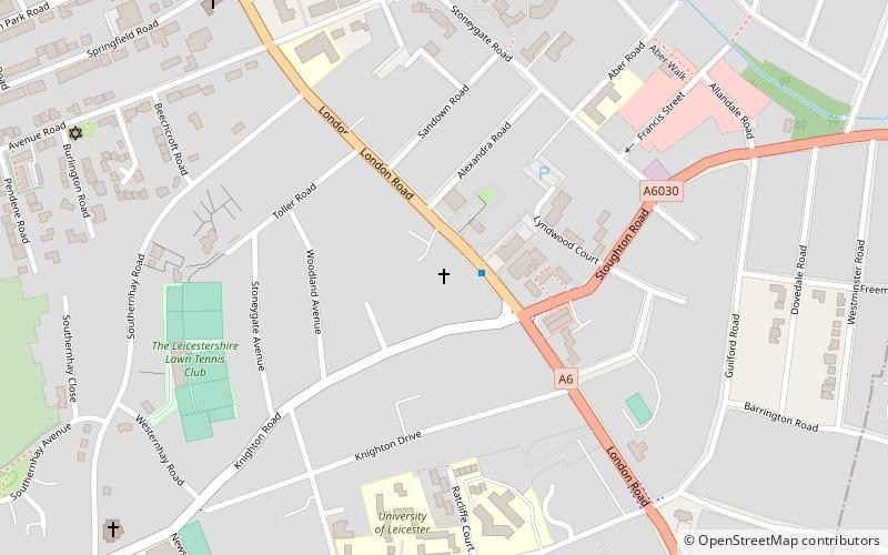
Stoneygate, Leicester

Gallery (1)
Map
Map
Facts and practical information
Stoneygate is part of the City of Leicester, England. ()
Coordinates: 52°36'53"N, 1°6'20"W
Day trips


Frequently Asked Questions (FAQ)
Which popular attractions are close to Stoneygate?
Nearby attractions include Trident Galleries, Leicester (7 min walk), Clarendon Park Congregational Church, Leicester (8 min walk), Clarendon Park, Leicester (13 min walk), University of Leicester Botanic Garden, Leicester (16 min walk).