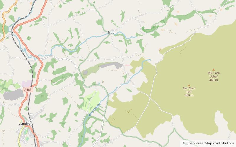
Carreg Dwfn, Brecon Beacons
Map

Map

Facts and practical information
Carreg Dwfn is a hill four miles southeast of Llandeilo and just to the south of the village of Trap in the county of Carmarthenshire, south Wales. It lies at the western extremity of the Brecon Beacons National Park and Fforest Fawr Geopark. Its summit at 283 metres is towards the eastern end of a rocky east-west-aligned ridge. ()
Coordinates: 51°50'18"N, 3°57'11"W
Address
Brecon Beacons
ContactAdd
Social media
Add
Day trips
Carreg Dwfn – popular in the area (distance from the attraction)
Nearby attractions include: Carreg Cennen Castle, Dinefwr Castle, Newton House, Dinefwr.


