Lodore Falls, Borrowdale

Gallery (1)
Map
Map
Facts and practical information
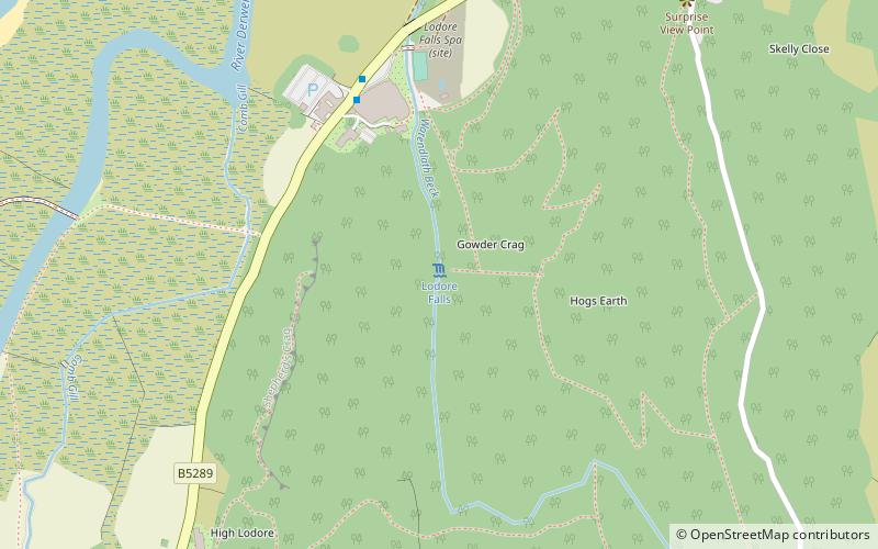
Lodore Falls is a waterfall in Cumbria, England, close to Derwentwater and downstream from Watendlath. The falls are located on the beck that flows from Watendlath Tarn, and tumble more than 100 feet over a steep cascade into the Borrowdale Valley. Although it is spectacular in the rainy season, it can dry to a trickle in the summer. ()
Elevation: 548 ft a.s.l.Coordinates: 54°33'28"N, 3°8'17"W
Day trips


