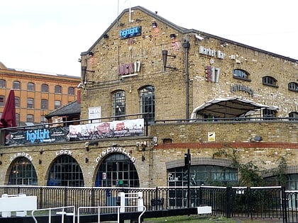
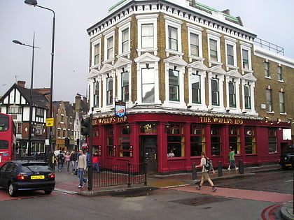
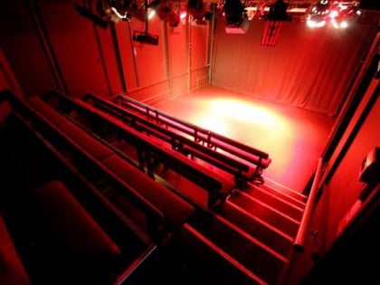
Camden Lock, London
Map

Gallery
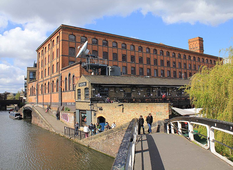
Facts and practical information
Camden Lock is a small part of Camden Town, London Borough of Camden, England, which was formerly a wharf with stables on the Regent's Canal. It is immediately to the north of Hampstead Road Locks, a twin manually operated lock. The twin locks together are "Hampstead Road Lock 1"; each bears a sign so marked. Hawley Lock and Kentish Town Lock are a short distance away to the east; to the west is a long level pound — it is 27 miles to the next lock. ()
Coordinates: 51°32'28"N, 0°8'45"W
Day trips
Camden Lock – popular in the area (distance from the attraction)
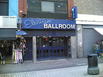
Nearby attractions include: ZSL London Zoo, Chalk Farm Road, Electric Ballroom, Camden High Street.
Frequently Asked Questions (FAQ)
Which popular attractions are close to Camden Lock?
Nearby attractions include Dingwalls, London (1 min walk), Etcetera Theatre, London (2 min walk), Hawley Lock, London (3 min walk), Camden Town, London (3 min walk).
How to get to Camden Lock by public transport?
The nearest stations to Camden Lock:
Bus
Metro
Train
Bus
- Hartland Road / Camden Market • Lines: 168, 24, 27, 31, N27, N28, N31, N5 (3 min walk)
- Hawley Road • Lines: 134, 168, 214, 24, 27, 31, 88, N20, N27, N28, N31, N5 (5 min walk)
Metro
- Camden Town • Lines: Northern (5 min walk)
- Chalk Farm • Lines: Northern (11 min walk)
Train
- Camden Road (7 min walk)
- Kentish Town West (11 min walk)

 Tube
Tube

