Four Shire Stone, Moreton-in-Marsh
Map

Map

Facts and practical information
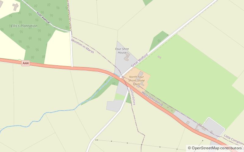
The Four Shire Stone is a boundary marker that marks the place where the four historic English counties of Warwickshire, Oxfordshire, Gloucestershire, and Worcestershire once met. Since 1931, with a change to the boundaries of Worcestershire, only three of the counties meet at the stone. ()
Coordinates: 51°59'15"N, 1°39'57"W
Address
Moreton-in-Marsh
ContactAdd
Social media
Add
Day trips
Four Shire Stone – popular in the area (distance from the attraction)
Nearby attractions include: Rollright Stones, St Edward's Church, Sezincote House, Batsford Arboretum.


