Daylesford House, Chipping Norton

Gallery (1)
Map
Map
Facts and practical information
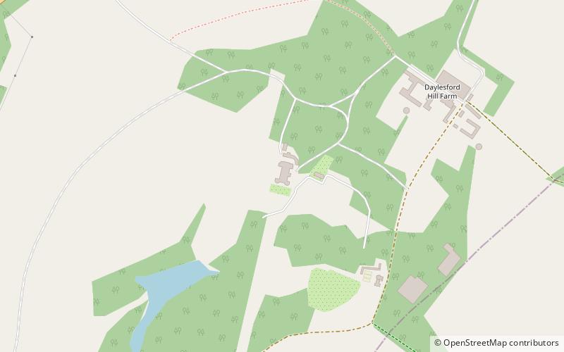
Daylesford House is a Georgian country house near Daylesford, Gloucestershire, on the north bank of the River Evenlode near the border with Oxfordshire. It is about 5 miles east of Stow-on-the-Wold and 5 miles west of Chipping Norton. The village of Daylesford lies nearby to the west, Adlestrop to the north, Cornwell to the east, and Kingham to the south, ()
Elevation: 551 ft a.s.l.Coordinates: 51°56'10"N, 1°37'54"W
Address
Chipping Norton
ContactAdd
Social media
Add
Day trips