Maugersbury Manor, Barton-on-the-Heath

Map
Facts and practical information
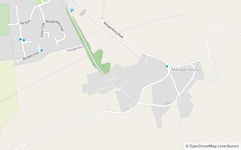
Maugersbury Manor is a manor house in the village of Maugersbury in Gloucestershire. It has been listed Grade II on the National Heritage List for England since August 1960. It has been built in various stages from the 17th to the 20th century and is made from dressed limestone with a slate roof. A third storey was added in the 18th century to the central part of the house. The right wing of the house was demolished, the left wing is two storey high with an attic. ()
Coordinates: 51°55'29"N, 1°42'51"W
Address
Barton-on-the-Heath
ContactAdd
Social media
Add
Day trips
Maugersbury Manor – popular in the area (distance from the attraction)
Nearby attractions include: Oxfordshire Way, Birdland Park and Gardens, St Edward's Church, Sezincote House.


