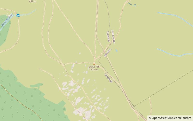
Blake Fell, Lake District National Park
Map

Map

Facts and practical information
Blake Fell is a hill in the Western part of the English Lake District. It is the highest point of the Loweswater Fells, an area of low grassy hills with steep sides overlooking the lake of Loweswater. The fell also overlooks the village of Loweswater, from which it can be climbed. An alternative route is from the Cogra Moss reservoir on its western slopes. Because the Loweswater Fells are a separate geographical unit, Blake Fell is a Marilyn. It is located in the Parish of Lamplugh. ()
Elevation: 1880 ftProminence: 538 ftCoordinates: 54°33'53"N, 3°22'37"W
Address
Lake District National Park
ContactAdd
Social media
Add
Day trips
Blake Fell – popular in the area (distance from the attraction)
Nearby attractions include: Cogra Moss, Knock Murton, Gavel Fell, Burnbank Fell.
Frequently Asked Questions (FAQ)
Which popular attractions are close to Blake Fell?
Nearby attractions include Burnbank Fell, Lake District National Park (23 min walk), Gavel Fell, Lake District National Park (23 min walk).


