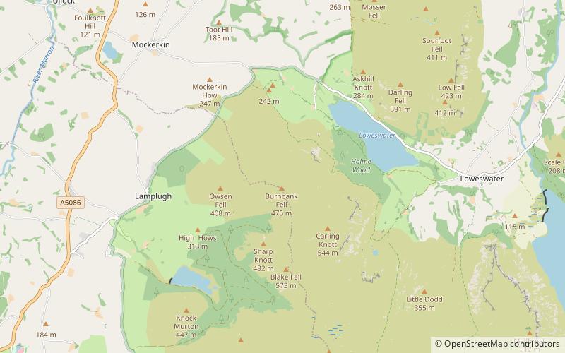
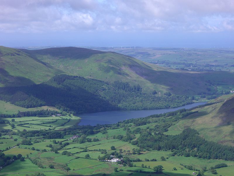
Burnbank Fell, Lake District National Park

Gallery (2)
Map
Map
Gallery
Facts and practical information
Burnbank Fell is a small hill in the west of the English Lake District. It is the most westerly of the Loweswater Fells, a group of low grassy hills just south of Loweswater. It is predominantly grassy, with sprawling flanks and a broad ridge connecting it to Blake Fell. It can be climbed from Lamplugh in the west, or from Waterend on the lakeshore. ()
Elevation: 1558 ftProminence: 66 ftCoordinates: 54°34'39"N, 3°22'41"W
Address
Lake District National Park
ContactAdd
Social media
Add
Day trips


