Cogra Moss
Map

Gallery

Facts and practical information
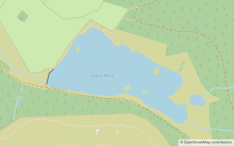
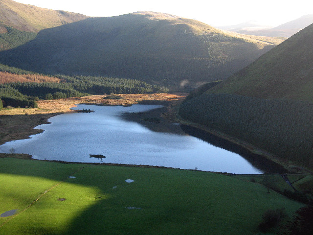
Cogra Moss is a shallow reservoir to the east of the village of Lamplugh on the western edge of the English Lake District. It was created by the damming of Rakegill Beck in about 1880, though its function as a water supply ceased in 1975. The reservoir, which is surrounded by forestry plantations on three sides, is popular with walkers and anglers. ()
Average depth: 18 ftElevation: 755 ft a.s.l.Coordinates: 54°33'47"N, 3°24'1"W
Day trips
Cogra Moss – popular in the area (distance from the attraction)
Nearby attractions include: Crummock Water, Scale Force, Loweswater, Ennerdale Water.


