Bradley Branch, Wolverhampton
Map

Gallery

Facts and practical information
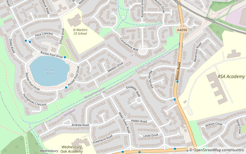
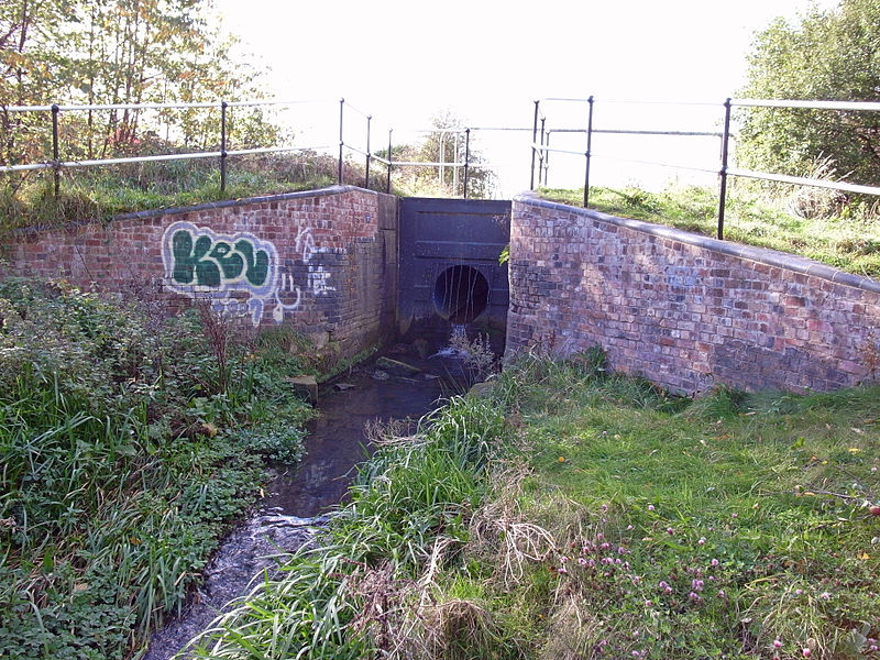
The Bradley Branch or Bradley Locks Branch was a short canal of the Birmingham Canal Navigations in the West Midlands, England. Completed in 1849, it included nine locks, and had a number of basins which enabled it to service local collieries and industrial sites. The locks were unusual, as they had a single gate at both ends, rather than double gates at the bottom end. The route closed in the 1950s, and the top seven locks were covered over and landscaped. ()
Length: 3168 ftCoordinates: 52°32'57"N, 2°3'17"W
Address
Bilston EastWolverhampton
ContactAdd
Social media
Add
Day trips
Bradley Branch – popular in the area (distance from the attraction)
Nearby attractions include: Tipton Sports Academy, Bilston Town Hall, Bilston, Wednesbury Oak Loop.
Frequently Asked Questions (FAQ)
Which popular attractions are close to Bradley Branch?
Nearby attractions include Moorcroft Wood Primary School, Dudley (13 min walk), Wednesbury Oak Loop, Dudley (18 min walk), Tibbington, Dudley (22 min walk).
How to get to Bradley Branch by public transport?
The nearest stations to Bradley Branch:
Bus
Tram
Bus
- Bilston Rd / Myrtle Terrace • Lines: 23 (5 min walk)
- Rocket Pool Dr / Humphries Crescent • Lines: 53, 530 (5 min walk)
Tram
- Bradley Lane • Lines: 1 (13 min walk)
- Loxdale • Lines: 1 (23 min walk)


