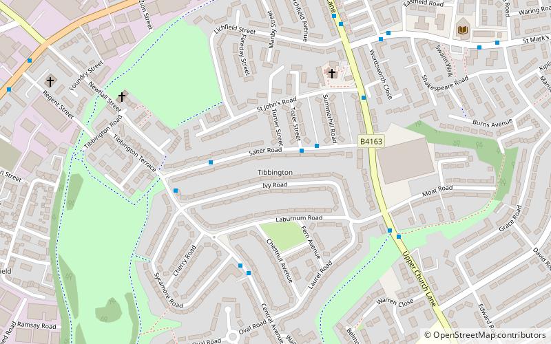
Tibbington, Dudley
Map
Facts and practical information
Tibbington is a residential area of Tipton, a town in the West Midlands of England. It takes its name from the original 11th-century name of Tipton – Tibbingtone. ()
Coordinates: 52°32'17"N, 2°3'48"W
Address
Sandwell (Princes End)Dudley
ContactAdd
Social media
Add
Getting there by public transportation
Public transportation stops near this location
- Bus
- Train
 Bus
Bus
- Calculate routeUpper Church Lane / St Marks Rd 6 min walk
- Calculate routeSt Marks Rd / Glebefields Rd 9 min walk
- Calculate routeHigh St / Upper Church Lane 9 min walk
- Calculate routeTipton 14 min walk
- Calculate routeCoseley 28 min walk
- Calculate routeDudley Port 29 min walk
Day trips


Frequently Asked Questions (FAQ)
Which popular attractions are close to Tibbington?
Nearby attractions include Wednesbury Oak Loop, Dudley (5 min walk), Tipton Green and Toll End Canals, Dudley (14 min walk), Boat Gauging House, Dudley (16 min walk), BCN Main Line, Wolverhampton (19 min walk).
How to get to Tibbington by public transport?
The nearest stations to Tibbington:
Bus
Train
Bus
- Upper Church Lane / St Marks Rd • Lines: 43, 43A (6 min walk)
- St Marks Rd / Glebefields Rd • Lines: 43, 43A (9 min walk)
Train
- Tipton (14 min walk)
- Coseley (28 min walk)