Bilston, Wolverhampton
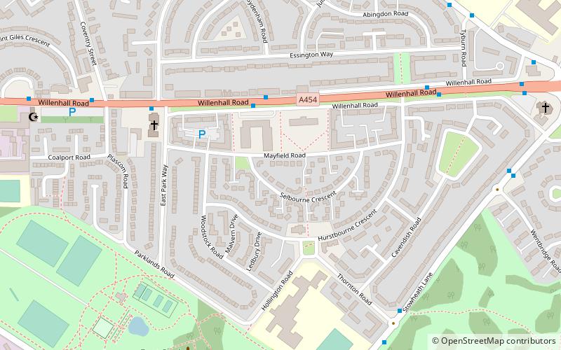
Map

Gallery

Facts and practical information
Bilston is a market town, ward, and civil parish located in Wolverhampton, West Midlands, England. It is close to the borders of Sandwell and Walsall. The nearest towns are Darlaston, Wednesbury, and Willenhall. Historically in Staffordshire, three wards of Wolverhampton City Council now cover the town: Bilston East and Bilston North, which almost entirely comprise parts of the historic Borough of Bilston, and Ettingshall, which comprises a part of Bilston and parts of Wolverhampton. ()
Address
Bilston EastWolverhampton
ContactAdd
Social media
Add
Day trips
Bilston – popular in the area (distance from the attraction)
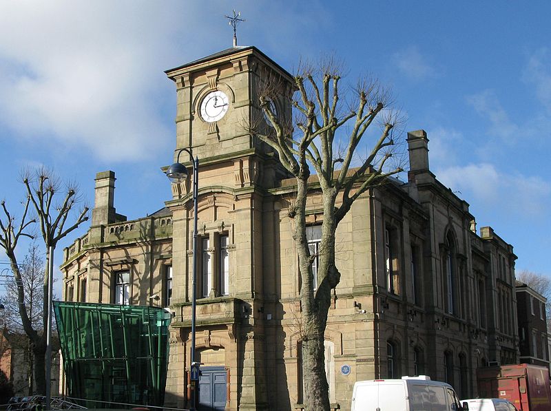
Nearby attractions include: Monmore Green Stadium, Bilston Town Hall, Memorial Clock, Bilston Craft Gallery.
Frequently Asked Questions (FAQ)
Which popular attractions are close to Bilston?
Nearby attractions include Bilston Town Hall, Wolverhampton (2 min walk), Bilston Craft Gallery, Wolverhampton (4 min walk), The Lunt (19 min walk), City of Wolverhampton College, Wolverhampton (23 min walk).
How to get to Bilston by public transport?
The nearest stations to Bilston:
Bus
Tram
Bus
- Mount Pleasant / Police Station • Lines: 25, 326, 545, 82 (2 min walk)
- Wellington Rd / Prouds Lane • Lines: 79 (2 min walk)
Tram
- Bilston Central • Lines: 1 (3 min walk)
- The Crescent • Lines: 1 (7 min walk)


