Canford Heath, Poole
Map

Map

Facts and practical information
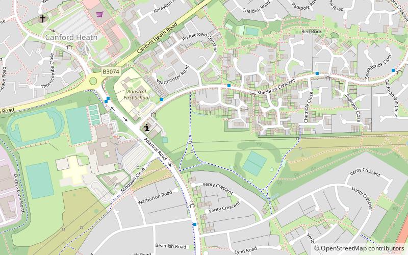
Canford Heath is a suburb and area of heathland in Poole, Dorset, known for being the largest heathland in Dorset, and the largest lowland heath in the UK. It is also the name of the housing development built on the heathland in the 1960s, 1970s and 1980s. The area is split into 2 wards, and at the 2011 census, the combined population of the 2 wards was 14,079. ()
Coordinates: 50°44'56"N, 1°57'45"W
Address
Canford Heath EastPoole
ContactAdd
Social media
Add
Day trips
Canford Heath – popular in the area (distance from the attraction)
Nearby attractions include: Dolphin Shopping Centre, Upton Country Park, The Lighthouse, Poole Park.
Frequently Asked Questions (FAQ)
How to get to Canford Heath by public transport?
The nearest stations to Canford Heath:
Bus
Bus
- Ad Astra Infant School • Lines: 18, 5, 6 (3 min walk)
- Warmwell Close • Lines: 18, 5, 6 (3 min walk)


