The Lighthouse, Poole
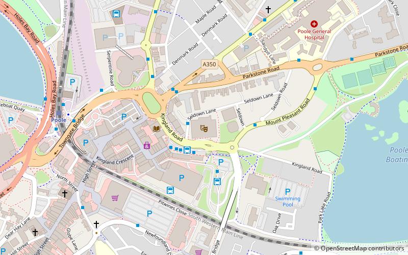
Map

Map

Facts and practical information
Lighthouse is an arts centre in Poole, Dorset, England. According to Arts Council England it is the largest arts centre in the United Kingdom outside London. ()
Coordinates: 50°43'7"N, 1°58'39"W
Day trips
The Lighthouse – popular in the area (distance from the attraction)
Nearby attractions include: Dolphin Shopping Centre, Statue of Robert Baden-Powell, Baiter Park, St James' Church.
Frequently Asked Questions (FAQ)
Which popular attractions are close to The Lighthouse?
Nearby attractions include St Mary's Church, Poole (7 min walk), Poole Methodist Church, Poole (8 min walk), Poole Stadium, Poole (10 min walk), Poole United Reformed Church, Poole (12 min walk).
How to get to The Lighthouse by public transport?
The nearest stations to The Lighthouse:
Bus
Train
Bus
- Lighthouse • Lines: One (1 min walk)
- Poole Bus Station • Lines: 10, 11, 14, 15, 16, 17, 20, 3, 32, 4, 40, 5, 6, 60, 70, 8, 898, 9, m1, m2, One, X6, X8 (2 min walk)
Train
- Poole (7 min walk)
- Poole Park (15 min walk)


