Pergins Island, Poole
Map

Map

Facts and practical information
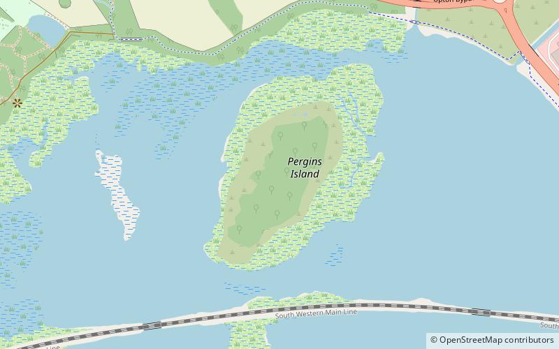
Pergins Island is a small, uninhabited island in Holes Bay, an embayment off Poole Harbour in Dorset on the south coast of England. It is not accessible to the public. ()
Coordinates: 50°43'57"N, 2°0'5"W
Address
CreekmoorPoole
ContactAdd
Social media
Add
Day trips
Pergins Island – popular in the area (distance from the attraction)
Nearby attractions include: Dolphin Shopping Centre, Upton Country Park, Poole Methodist Church, The Lighthouse.
Frequently Asked Questions (FAQ)
Which popular attractions are close to Pergins Island?
Nearby attractions include Upton Country Park, Poole (11 min walk), Holes Bay Nature Park, Poole (14 min walk), Sterte, Poole (23 min walk).
How to get to Pergins Island by public transport?
The nearest stations to Pergins Island:
Bus
Train
Bus
- Creekmoor Lane Roundabout • Lines: 4, 8, 9 (12 min walk)
- Millfield • Lines: 8, 9 (14 min walk)
Train
- Hamworthy (24 min walk)
- Poole (32 min walk)


