Polmadie Bridge, Glasgow
Map
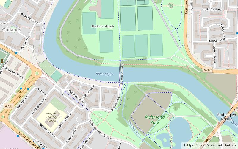
Map

Facts and practical information
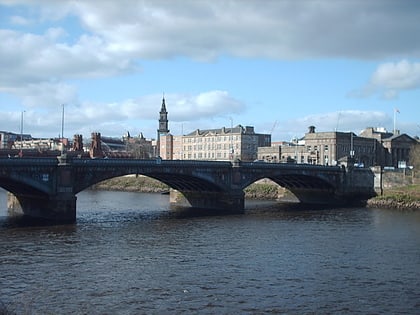
The Polmadie Bridge is a footbridge that crosses the River Clyde, Glasgow, Scotland between Glasgow Green to its north, and Oatlands to its south. ()
Coordinates: 55°50'33"N, 4°14'7"W
Address
South Side (Polmadie)Glasgow
ContactAdd
Social media
Add
Day trips
Polmadie Bridge – popular in the area (distance from the attraction)
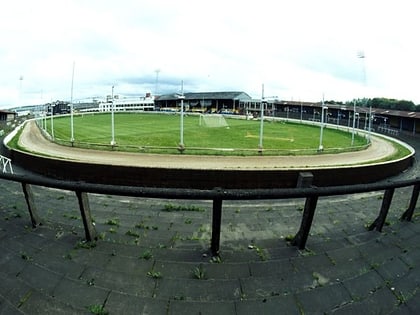
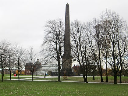
Nearby attractions include: People's Palace, Glasgow Green, Shawfield Stadium, Nelson Monument.
Frequently Asked Questions (FAQ)
Which popular attractions are close to Polmadie Bridge?
Nearby attractions include King's Bridge, Glasgow (8 min walk), Rutherglen Bridge, Glasgow (9 min walk), Shawfield Stadium, Glasgow (10 min walk), Southern Necropolis, Glasgow (12 min walk).
How to get to Polmadie Bridge by public transport?
The nearest stations to Polmadie Bridge:
Train
Bus
Metro
Train
- Bridgeton (15 min walk)
- Dalmarnock (18 min walk)
Bus
- Glasgow Green/ Peoples Palace • Lines: c1 (18 min walk)
- London Road / Charlotte Street • Lines: c1 (22 min walk)
Metro
- Bridge Street • Lines: Subway (29 min walk)
- West Street • Lines: Subway (33 min walk)


