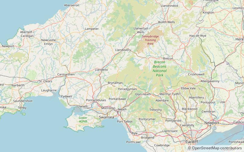
Foel Fraith, Brecon Beacons
Map

Map

Facts and practical information
Foel Fraith is a hill in the Black Mountain in the county of Carmarthenshire, southwest Wales. It lies within the Brecon Beacons National Park and Fforest Fawr Geopark. Its plateau-like summit attains a height of 602 metres above sea level. To the north the subsidiary summit of Cefn y Cylchau reaches 556 feet, and to the southeast is the subsidiary summit of Carn Fadog or Cefn Carn Fadog, which reaches a height of 512 metres. ()
Elevation: 1975 ftProminence: 253 ftCoordinates: 51°50'57"N, 3°48'25"W
Address
Brecon Beacons
ContactAdd
Social media
Add
Day trips
Foel Fraith – popular in the area (distance from the attraction)
Nearby attractions include: Dan-yr-Ogof, Llyn y Fan Fawr, Waun Lefrith, Fan Brycheiniog.


