Garreg Lwyd, Brecon Beacons
#59 among attractions in Brecon Beacons


Facts and practical information
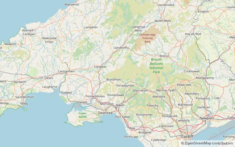
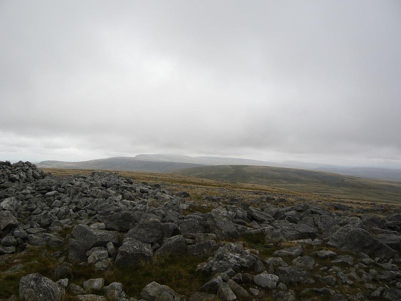
Garreg Lwyd, also known as Moel Gornach, is a peak in the Black Mountain of the Brecon Beacons, South Wales. It is a subsidiary summit of Fan Brycheiniog. ()
Brecon Beacons United Kingdom
Garreg Lwyd – popular in the area (distance from the attraction)
Nearby attractions include: Carreg Cennen Castle, Waun Lefrith, Picws Du, Black Mountain.
 Forts and castles, Historical place, View point
Carreg Cennen Castle, Brecon Beacons
115 min walk • Carreg Cennen Castle is a castle sited on a high rocky outcrop overlooking the River Cennen, close to the village of Trap, four miles south of Llandeilo in Carmarthenshire, Wales.
 Nature, Natural attraction, Mountain
Waun Lefrith, Brecon Beacons
108 min walk • Waun Lefrith is a top of Picws Du and is also the westernmost of the Carmarthen Fans or Bannau Sir Gaer, a group of peaks within the Black Mountain of the Brecon Beacons National Park. It lies within Carmarthenshire, Wales.
 Nature, Natural attraction, Mountain
Picws Du, Brecon Beacons
129 min walk • Picws Du is the second highest peak of the Carmarthen Fans in the Carmarthenshire section of the Black Mountain in the west of the Brecon Beacons National Park in south Wales.
 Nature, Natural attraction, Mountain
Black Mountain, Brecon Beacons
147 min walk • The Black Mountain is a mountain range in South, Mid and West Wales, straddling the county boundary between Carmarthenshire and Brecknockshire and forming the westernmost range of the Brecon Beacons National Park. Its highest point is Fan Brycheiniog at 802 metres or 2,631 ft.
 Natural attraction, Lake, Body of water
Llyn y Fan Fach, Brecon Beacons
116 min walk • Llyn y Fan Fach is a lake of approximately 10 hectares on the northern margin of the Black Mountain in Carmarthenshire, South Wales and lying within the Brecon Beacons National Park.
 Archaeological site
Y Garn Goch, Brecon Beacons
127 min walk • Y Garn Goch is a hill in the Brecon Beacons National Park in the east of Carmarthenshire, Wales. The name means the 'red cairn'. It lies near the village of Bethlehem, three miles southwest of Llangadog and four miles east of Llandeilo on the southern side of the broad Towy Valley.
 Nature, Natural attraction, Mountain
Tair Carn Uchaf, Brecon Beacons
91 min walk • Tair Carn Uchaf is a hill in the Brecon Beacons National Park in the county of Carmarthenshire, Wales. Its summit sits atop a plateau-like ridge at 482 metres above sea level and is marked by one of the three huge cairns which give the mountain its name.
 Nature, Natural attraction, Mountain
Foel Fraith, Brecon Beacons
27 min walk • Foel Fraith is a hill in the Black Mountain in the county of Carmarthenshire, southwest Wales. It lies within the Brecon Beacons National Park and Fforest Fawr Geopark. Its plateau-like summit attains a height of 602 metres above sea level.
 Nature, Natural attraction, Mountain
Mynydd y Betws
181 min walk • Mynydd y Betws is a mountain or large hill located on the border between Swansea and Carmarthenshire in South Wales, between Ammanford and Clydach. It is an area of upland with large stretches of tussocky grassland.
 Nature, Natural attraction, Cave
Llygad Llwchwr, Brecon Beacons
113 min walk • Llygad Llwchwr is a 1.2 km-long cave system in the Black Mountain which forms the westernmost range of the Brecon Beacons National Park in Wales.
 Nature, Natural attraction, Mountain
Carreg Dwfn, Brecon Beacons
135 min walk • Carreg Dwfn is a hill four miles southeast of Llandeilo and just to the south of the village of Trap in the county of Carmarthenshire, south Wales. It lies at the western extremity of the Brecon Beacons National Park and Fforest Fawr Geopark. Its summit at 283 metres is towards the eastern end of a rocky east-west-aligned ridge.
