Derry Gaol, Derry
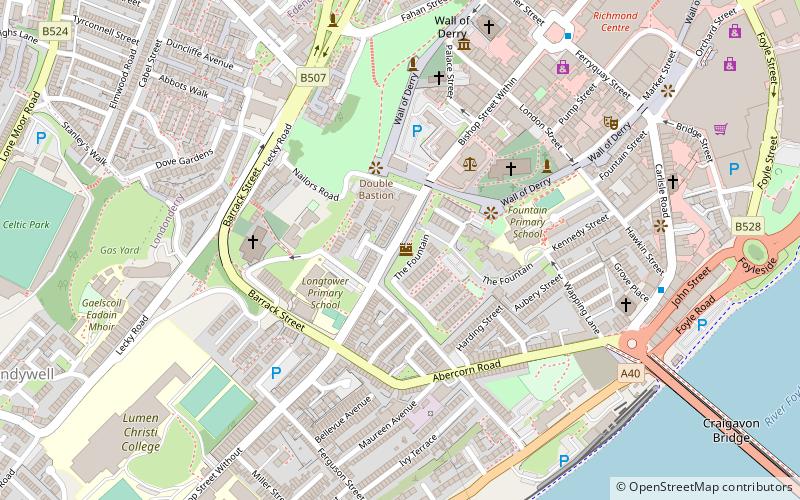
Map

Map

Facts and practical information
Derry Gaol, also known as Londonderry Gaol, refers to one of several gaols constructed consecutively in Derry, Northern Ireland. Derry Gaol is notable as a place of incarceration for Irish Republican Army members during the Irish Civil War, and for its numerous executions, seven of which took place between 1820 and 1923. ()
Coordinates: 54°59'34"N, 7°19'31"W
Address
Fountain, DerryDerry
ContactAdd
Social media
Add
Day trips
Derry Gaol – popular in the area (distance from the attraction)
Nearby attractions include: Free Derry Corner, Richmond Centre, St Columb's Cathedral, Ryan McBride Brandywell Stadium.
Frequently Asked Questions (FAQ)
Which popular attractions are close to Derry Gaol?
Nearby attractions include St Columb's Cathedral, Derry (3 min walk), St Columba's Church, Derry (4 min walk), St Augustine's, Derry (4 min walk), Foyle Valley Railway, Derry (5 min walk).
How to get to Derry Gaol by public transport?
The nearest stations to Derry Gaol:
Bus
Train
Bus
- Foyle Bus Station (10 min walk)
Train
- Londonderry (13 min walk)


