St. Columb's Park, Derry
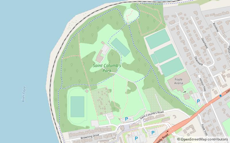
Map
Facts and practical information
St. Columb’s Park is a 70-acre municipal park in Derry, Northern Ireland. The park is named after St. Columba, who is the city's patron saint. The park contains the ruins of a medieval church, an 18th century manor house, as well as many modern amenities such as a leisure centre and sports pitches. ()
Elevation: 72 ft a.s.l.Coordinates: 55°0'8"N, 7°18'39"W
Getting there by public transportation
Public transportation stops near this location
- Bus
- Train
 Bus
Bus
- Calculate routeFoyle Bus Station 13 min walk
- Calculate routeAirporter HQ 21 min walk
- Calculate routeLondonderry 17 min walk
Day trips


Frequently Asked Questions (FAQ)
Which popular attractions are close to St. Columb's Park?
Nearby attractions include Turner Prize 2013, Derry (8 min walk), Peace Bridge, Derry (9 min walk), Guildhall, Derry (12 min walk), Workhouse Museum, Derry (13 min walk).
How to get to St. Columb's Park by public transport?
The nearest stations to St. Columb's Park:
Bus
Train
Bus
- Foyle Bus Station (13 min walk)
- Airporter HQ (21 min walk)
Train
- Londonderry (17 min walk)