Hands Across the Divide, Derry
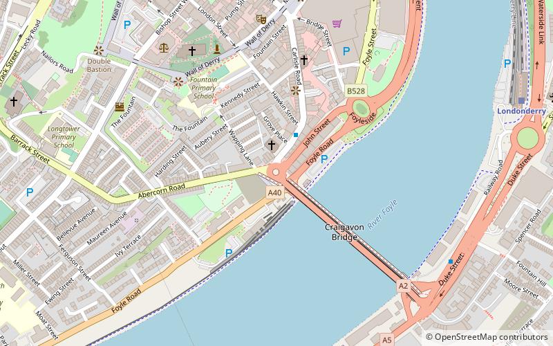
Map

Map

Facts and practical information
Hands Across the Divide is a sculpture in Derry, Northern Ireland. The statue was created by Maurice Harron, and erected in 1992. It stands on the western side of the Craigavon Bridge and symbolizes reconciliation between both sides of the political divide during The Troubles. ()
Coordinates: 54°59'30"N, 7°19'13"W
Address
Derry
ContactAdd
Social media
Add
Day trips
Hands Across the Divide – popular in the area (distance from the attraction)
Nearby attractions include: Free Derry Corner, Richmond Centre, St Columb's Cathedral, Ryan McBride Brandywell Stadium.
Frequently Asked Questions (FAQ)
Which popular attractions are close to Hands Across the Divide?
Nearby attractions include Foyle Valley Railway, Derry (2 min walk), Craigavon Bridge, Derry (4 min walk), St Columb's Cathedral, Derry (5 min walk), Derry Gaol, Derry (6 min walk).
How to get to Hands Across the Divide by public transport?
The nearest stations to Hands Across the Divide:
Train
Bus
Train
- Londonderry (9 min walk)
Bus
- Foyle Bus Station (9 min walk)


