Oxlow Cavern, Peak District
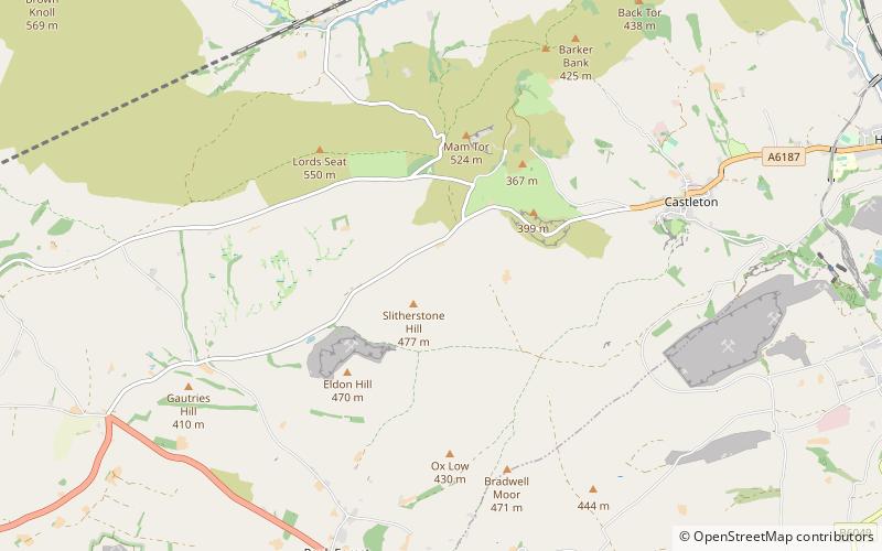
Map
Facts and practical information
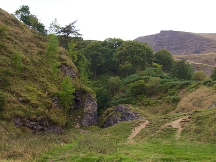
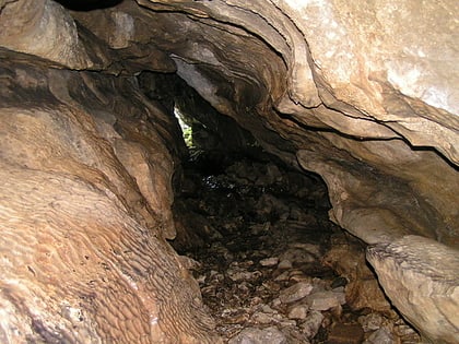
Oxlow Cavern is a part-natural and part-mined cavern near Castleton in Derbyshire, England. It is situated on the south side of the road running from the A623 at Sparrowpit to the Winnats Pass, west of Castleton, and is almost opposite Giant's Hole on the other side of the road. A few yards from Oxlow Cavern is the connecting Maskill Mine. ()
Length: 4593 ftDepth: 459 ftCoordinates: 53°20'10"N, 1°48'49"W
Address
Peak District
ContactAdd
Social media
Add
Day trips
Oxlow Cavern – popular in the area (distance from the attraction)
Nearby attractions include: Odin Mine, Treak Cliff Cavern, Blue John Cavern, Mam Tor.
Frequently Asked Questions (FAQ)
Which popular attractions are close to Oxlow Cavern?
Nearby attractions include Giant's Hole, Peak District (13 min walk), Winnats Pass, Peak District (18 min walk), Blue John Cavern, Castleton (20 min walk), Titan Cave, Peak District (22 min walk).
