Metropolitan Borough of Stockport, Stockport
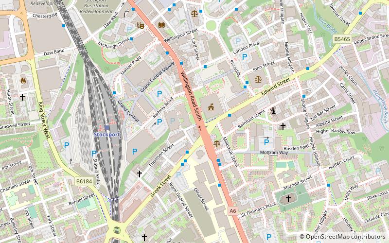
Map

Map

Facts and practical information
The Metropolitan Borough of Stockport is a metropolitan borough of Greater Manchester in North West England, south-east of central Manchester. As well as the towns of Stockport, Bredbury and Marple, it includes the outlying areas of Hazel Grove, Bramhall, Cheadle, Cheadle Hulme Gatley, Reddish, Woodley and Romiley. In 2001, it had a population of 284,500. ()
Day trips
Metropolitan Borough of Stockport – popular in the area (distance from the attraction)
Nearby attractions include: Merseyway Shopping Centre, Hat Works Museum, St Mary's Church, Edgeley Park.
Frequently Asked Questions (FAQ)
Which popular attractions are close to Metropolitan Borough of Stockport?
Nearby attractions include Stockport Town Hall, Stockport (2 min walk), Stockport Viaduct, Stockport (4 min walk), Stockport College, Stockport (5 min walk), Stockport Central Library, Stockport (5 min walk).
How to get to Metropolitan Borough of Stockport by public transport?
The nearest stations to Metropolitan Borough of Stockport:
Bus
Train
Bus
- Stockport, Greek Street / Stockport College • Lines: 11, 313, 323, 328, 368, 374 (2 min walk)
- Stockport, Wellington Road S / Stockport College • Lines: 358, 375, 378, 379, 383 (3 min walk)
Train
- Stockport (5 min walk)
- Davenport (28 min walk)


