Christ Church, Sheffield
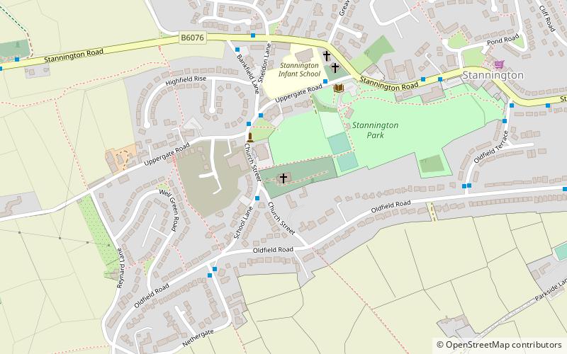
Map

Gallery

Facts and practical information
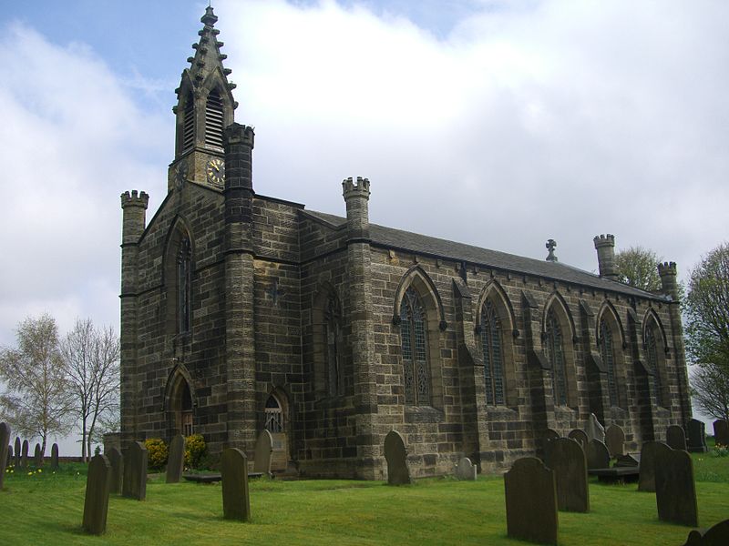
Christ Church is an Anglican place of worship situated on Church Street in the Stannington area of the City of Sheffield, England. It is a Commissioners' church or “Million Church” as it was built partly with money provided by the Church Building Act of 1824. It is recorded in the National Heritage List for England as a designated Grade II listed building. ()
Coordinates: 53°23'31"N, 1°32'49"W
Day trips
Christ Church – popular in the area (distance from the attraction)
Nearby attractions include: Sandygate Road, Rivelin Park Cafe, Underbank Chapel, Revell Grange.
Frequently Asked Questions (FAQ)
Which popular attractions are close to Christ Church?
Nearby attractions include Underbank Chapel, Sheffield (11 min walk), Little Matlock Rolling Mill, Sheffield (20 min walk), Revell Grange, Sheffield (20 min walk).
How to get to Christ Church by public transport?
The nearest stations to Christ Church:
Bus
Bus
- School Lane/Church Street • Lines: 81 (2 min walk)
- Uppergate Road/Bankfield Lane • Lines: 62, 81, Sl2 (3 min walk)


