Crookes Cemetery, Sheffield

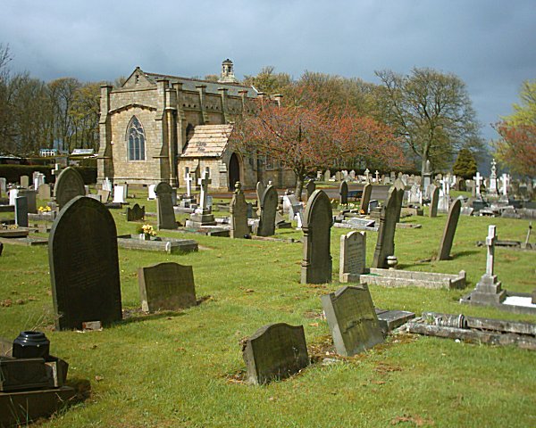
Gallery (2)
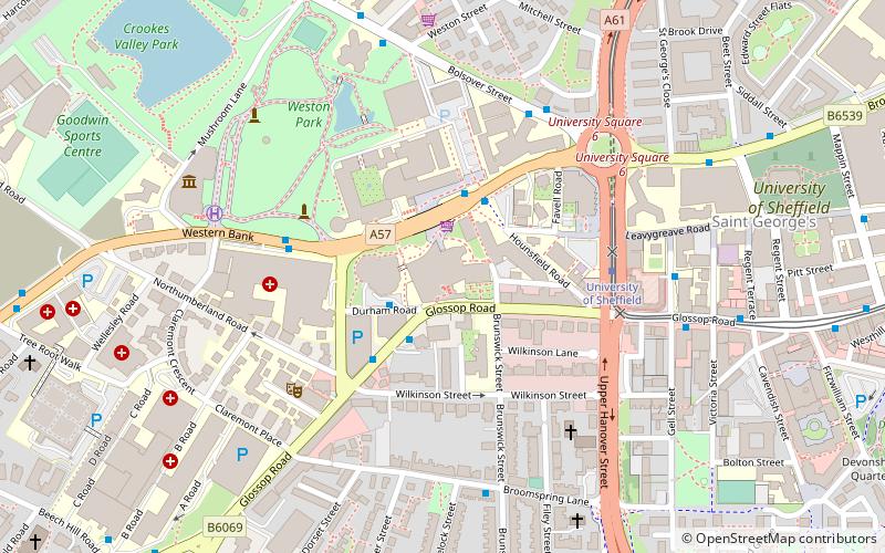
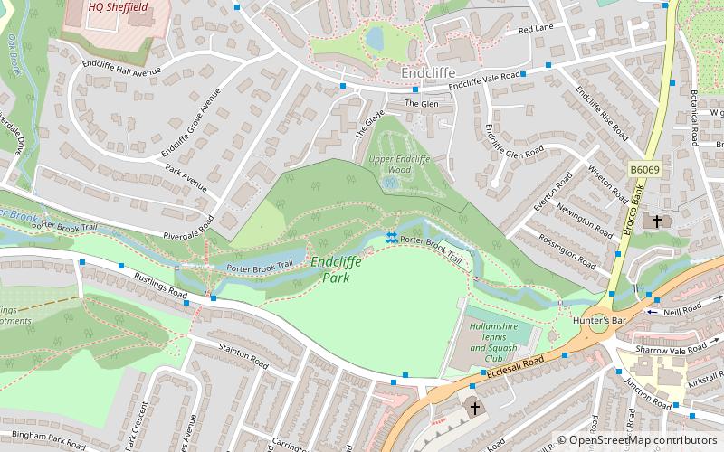
Map
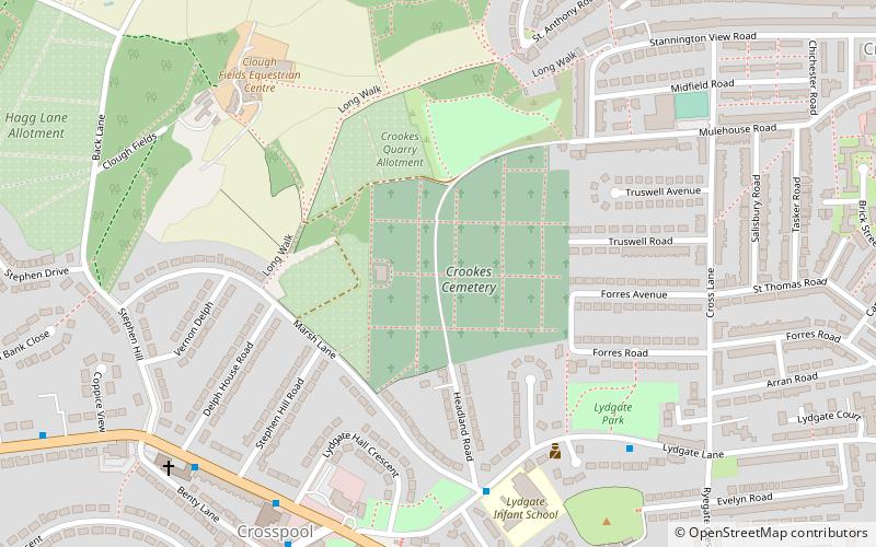
Map
Gallery
Facts and practical information
Crookes Cemetery is a cemetery between Crosspool and Crookes in the city of Sheffield, South Yorkshire, England. Its main entrance is on Headland Road with additional access from Mulehouse Road. It was opened in 1906, and covers 29 acres. By 2009, over 29,000 burials had taken place since its opening. ()
Coordinates: 53°22'58"N, 1°31'2"W
Address
CrookesSheffield
ContactAdd
Social media
Add
Getting there by public transportation
Public transportation stops near this location
- Bus
- Tram
 Bus
Bus
- Calculate routeManchester Road/Lydgate Hall Crescent 6 min walk
- Calculate routeSandygate Road/Post Office 7 min walk
- Calculate routeLangsett / Primrose View 38 min walk
- Calculate routeBamforth Street 39 min walk
Day trips


Frequently Asked Questions (FAQ)
Which popular attractions are close to Crookes Cemetery?
Nearby attractions include Rivelin Park Cafe, Sheffield (16 min walk), St Michael's Cemetery, Sheffield (16 min walk), St John's Church, Sheffield (19 min walk), Sandygate Road, Sheffield (19 min walk).
How to get to Crookes Cemetery by public transport?
The nearest stations to Crookes Cemetery:
Bus
Tram
Bus
- Manchester Road/Lydgate Hall Crescent • Lines: 257 (6 min walk)
- Sandygate Road/Post Office • Lines: 51 (7 min walk)
Tram
- Langsett / Primrose View • Lines: Blue, Yell (38 min walk)
- Bamforth Street • Lines: Blue, Yell (39 min walk)